

One day as I was working in my county engineer's office at Stark County, IL, a delivery driver stopped in and said "Why are these roads labeled incorrectly on my GPS map?" At first I blew it off thinking that's something beyond my control and I had more important things like ongoing construction projects. After all, we as the local agency were the knowledge experts on local names and places and if these big companies wanted our data they could "come and find us" with their "incorrect" GPS navigation devices. But then I realized what a tremendous benefit this would be to not only the local deliver driver but also emergency response, tourism, and many others.
So how do we get these basemaps updated? First of all, these basemap companies are BIG and there are only a few key players. By basemaps I mean the foundation for GPS navigation on consumer-grade electronics.
There's not exactly a 1-800 hotline that you can call as a one-stop-shop to update everyone in the universe (although that would be nice). There are however, tools that allow you to edit or update the information on your own. This is called crowd-sourcing, where anyone / anywhere can contribute to updating basemap information to benefit the traveling public. Here are some ways to do this for some of the bigger basemap providers out there:
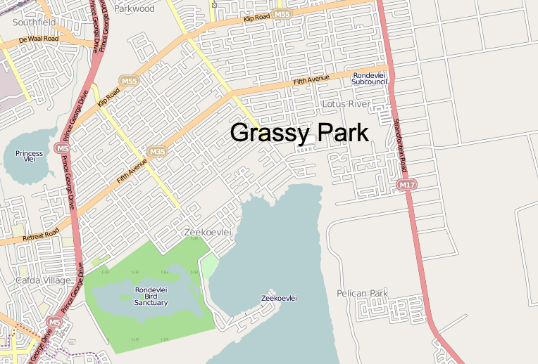
A sample of an Esri basemap
- Esri Community Maps is a collaborative effort by Esri and the ArcGIS community to build the Living Atlas of the World
- Open Street Map is a crowd-sourced application that allows to edit and update street map information used by consumers around the world. All you need is to create a login and learn their simple editing tools.
- HERE, A Nokia Company, who recently purchased acquired Navteq is also a major provider of basemaps. With HERE you can go to their site:
https://mapcreator.here.com/mapcreator/ Map editing tool sign up for an account
https://content.ext.here.com/ Data upload portal (Upload GIS data here)
- Google Maps has a Base Map Partner Program that allows agencies to submit their data in vector format with specific instructions regarding format. In addition to vector data, Google also allows users to contribute to their collection of Cities in 3D, Imagery, and parcel data.
Remember, sometimes it takes some time for it to become active. Yes, real people typically look at the information you submit and actually take time to verify its accuracy.
If you have more ideas, thoughts, etc. please leave them in the comments below.
