

Cloudpoint closed out 2022 by applying for and receiving the State and Local Government Specialty designation from Esri. Esri business partners that apply for this specialty go through…
Keeping Up With Cloudpoint
“It’s not about ideas. It’s about making ideas happen.” - Scott Belsky
The Infrastructure Investment and Jobs Act was signed into law on November 15, 2021. This much needed funding has been earmarked for the improvement of infrastructure across the United States, and with that comes opportunities for communities to invest in their Geographic Information Systems. See the…
Cloudpoint is pleased to partner with surveying and engineering firms to bring GIS to these firms’ small municipal clients. Recently Brown & Roberts Inc. and Benton & Associates contracted Cloudpoint to provide GIS services to the City of Harrisburg, IL and…
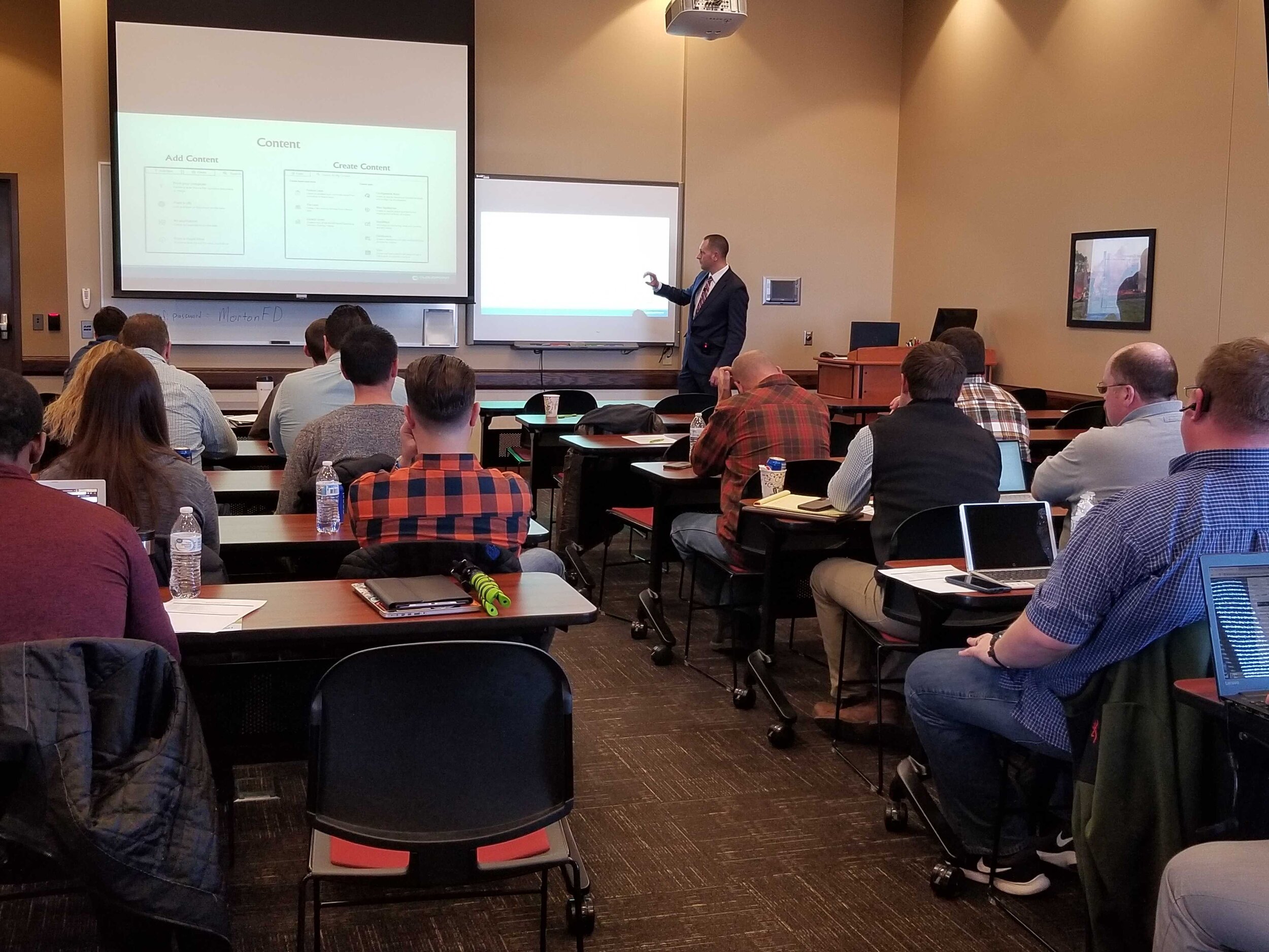
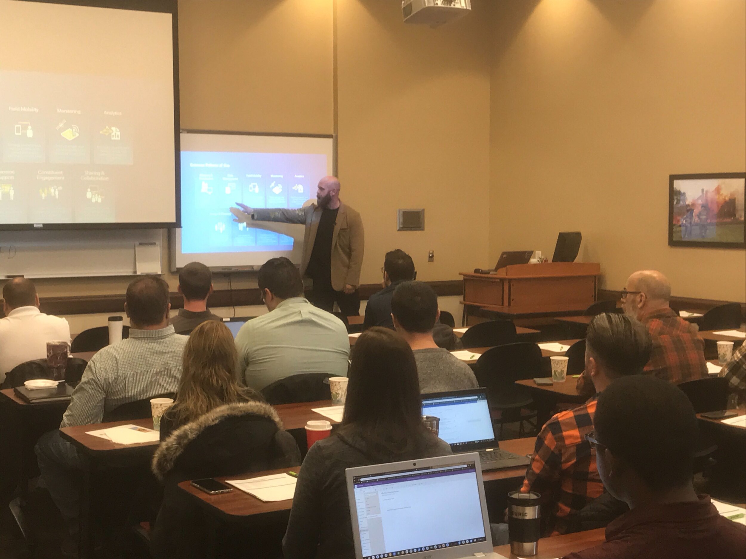
Last Friday we had the opportunity to once again gather with local government professionals throughout the Central Illinois area for the ArcGIS Solutions Showcase. Attendees traveled from as far as Galesburg , Watseka, Ottawa, and Decatur to learn about the latest solutions from Esri and pickup on some training tips for ArcGIS Online, Indoors, Hub, Dashboards, and Pro. Below are a few photos of the event. Videos of the showcase are coming soon on our Youtube Channel! This was the first time this event was captured in video recordings so please be sure to check those out in case you missed the live event. Special thanks to Mitchell Winiecki from Esri for getting the creative thinking juices flowing, and guest speaker, Glen Wetterow, GIS Coordinator for the City of East Peoria for presenting on new ways their organization is using GIS technology. To find out more about past or future showcase events visit: https://www.cloudpointgeo.com/showcaseevents


The Cloudpoint is excited to have the opportunity to take the City of Pekin’s GIS to the next level. The city has used Cloudpoint’s professional GIS services off and on for the past five years but after losing their full-time GIS coordinator last fall, they realized the critical importance of maintaining their GIS system and decided to take their relationship with Cloudpoint from one of courting, to a more serious partnership. With that, Cloudpoint and the City of Pekin have engaged in a two-year contract for professional GIS services to support the various departments throughout the city. The team has begun intensive meetings with city staff to further dive into their needs and how they can better utilize the GIS system for their daily workflows. With the new contract, Cloudpoint staff will be onsite for up to 30 hours per month, with additional technical support services coming in the forms of enterprise GIS management and GIS application deployment. One of the main objectives is to enable city staff to take more ownership of GIS data and make edits and updates for their department with user-friendly web-based applications. The Client has a wealth of GIS data which has been well managed and distributed in the past but with greater editing capabilities, the use of real-time GIS updates should further enhance the value of their data. In addition, the city hopes to easily share this authoritative data both internally as well as externally to contractors, consultants, and developers. For more information on Cloudpoint’s Managed Professional Services (MPS) please contact us or call 877-377-8124.

Cloudpoint Geographics’ Land Records team will be providing parcel fabric migration services to the City of Rockwall, TX. The City has approximately 18,000 parcels and would like to take advantage of Esri’s most advanced parcel mapping functionality. With the new fabric they can take advantage of Plan Directory, Least Squares Adjustments, Control Points, Historic Parcels layer and more. For more information on how you can benefit from Esri’s parcel fabric please contact Cloudpoint’s Land Records team.

Burr Ridge is home to over 500 businesses occupying more than 6 million square feet of floor area and employing 10,000 plus people.
The Village of Burr Ridge has contracted with Cloudpoint Geographics to provide complete managed GIS services. Cloudpoint's professional staff will act as an extension to the Village's internal staff when it comes to GIS needs and communicating with its constituents. Here are some resources that the Client will soon be able to take advantage thanks to this newly formed partnership.
Village staff had the foresight to see that a centralized GIS can be a "single source of truth" for both internal and external users to access critical information to help drive decision making processes. The Cloudpoint team will be working closely with the finance director, assistant administrator, public works officials, and IT staff to remotely connecting to the Village's network to perform GIS upgrades and rolling out new applications for the system as well as providing regular training for their staff. For more information on how your agency can take advantage of our affordable GIS services you can contact us through our website or call 877-377-8124.
Do you know the quality of your address data in your GIS? Did you also know that the accuracy of this data is of critical importance for the future of NG9-1-1? As an Esri business partner, Cloudpoint Geographics understands the value of ArcGIS Solutions for Local Government, including address data management, and has been implementing these solutions for several years. Our professional staff has the ability to review the quality of your road centerline address ranges, as well as a review of your road names in accordance with standards from the USPS to provide you with a rating score on the quality of your data. In addition they will make recommended updates and provide a cost estimate associated with such updates. The following are just a few solutions powered by Esri's Local Government that the Cloudpoint team can implement for you:

Our local government experience in building GIS solutions on the Esri platform helps us offer value-added services to agencies needing a professional solution in a timely manner. Don't wait for Next Generation 9-1-1 to come to you, make the effort to be prepared. For more information on pricing contact us at 877-377-8124 or submit below.
The Town of Normal, IL is taking great strides in its GIS progress under the leadership of two highly talented professionals. IT Director, Teri Legner and GIS Coordinator, Cassidy Killian are currently working with the water department to update all of their old maps. The water distribution system is currently all mapped out in CAD however it is not exactly to scale, causing a huge challenge when trying to convert to GIS format. Normally a simple georeferencing process can stretch or rotate the old maps to fit, however in this case it was not a practical approach due to the scale variance.
Cloudpoint was brought in to help with this process consisting of referencing old records such as pdf valve cards, construction drawings, and CAD data to reconstruct the data in a GIS environment. The newly converted data will be in Esri's local government data model and can be easily integrated into all of the latest Esri tools, maps, and apps including the Water Utility Network Editing and Reporting tools which are freely available to the Town as part of their current Esri licensing. Soon the GIS department will be able to use this new GIS layer for water distribution applications such as valve isolation traces, reporting, and customer outage notifications or boil orders.

As-built record drawings were scanned to pdf and used for reference in constructing the GIS layers

Water main details are incorporated into the GIS which can later be used for system-wide analysis and reporting.
Having Trimble GeoXH units on hand will allow the water department staff to further "fine tune" their data and collect GPS information with greater accuracy. The professional staff at Normal has displayed great insight in migrating their data to the GIS environment and using the resources they have in place.


