
Cloudpoint Geographics forms strategic partnership with Kovar & Associates, LLC to offer aerial mapping services using drones
Roanoke, IL, February 15, 2015– Cloudpoint Geographics is pleased to announce a partnership with Kovar & Associates LLC to offer professional aerial mapping services with UAV's (drones). Mr. Kovar is a licensed fixed wing and rotorcraft pilot and specialized cyber-security consultant. He has been involved in disaster response and search and rescue for over 15 years and has a passionate interest in mapping and imagery due to this experience.
“This strategic partnership positions us for an early entrance into a brand new market that will dramatically expand our geospatial offerings throughout the state of Illinois and the Midwest region.” says Cloudpoint president, Jonathan Hodel
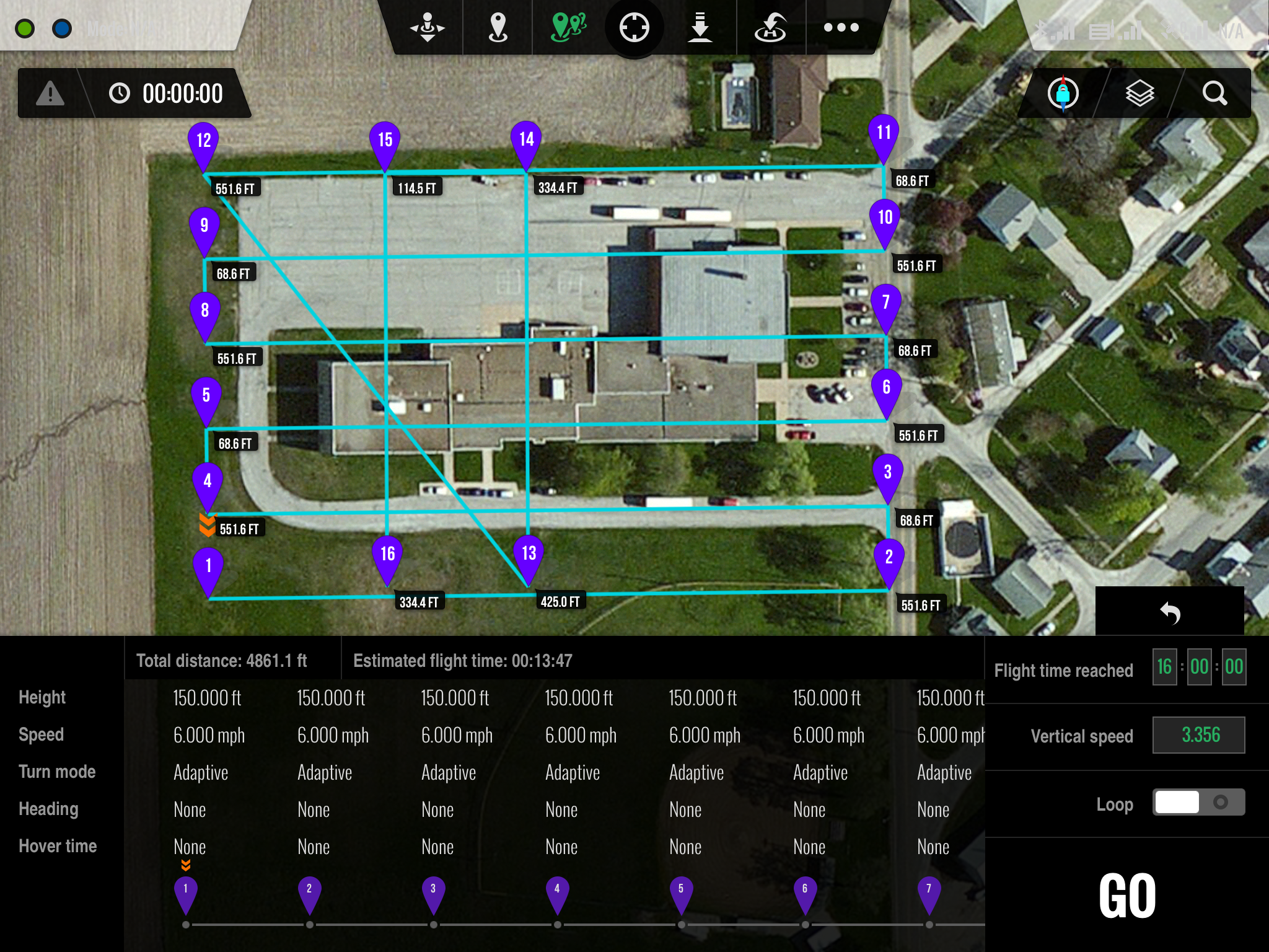
Ground Station iPad interface
The Cloudpoint / Kovar team has submitted a request for an exemption with the FAA to allow for commercial drone operation for aerial mapping. The approval process is anticipated to take several months however these firms are committed to establishing a safe and effective program for using this technology. The FAA is currently in the process of developing regulations for commercial use of drones in many different applications.
Cloudpoint is a dynamic geospatial solutions consulting firm providing mapping and GIS services for a variety of clients.
