Water Network Reporting

GeoConX In Chicago

Esri has their mammoth User's Conference every year in San Diego. See Joe's review of that. In an attempt to accommodate specific industries, they also hosts a few much smaller events across the country throughout the year. 

This year the gas, electric & telecom conference, named GeoConX (pronounced geo-connects) was hosted in Chicago. With our client base and perfectly aligned conference in our backyard. both Micah and Paul attended. 

Here are some highlights: 


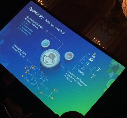
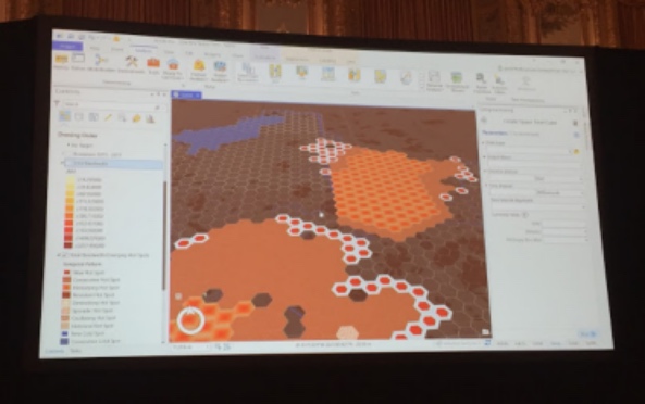
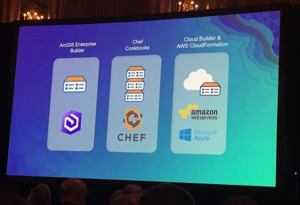
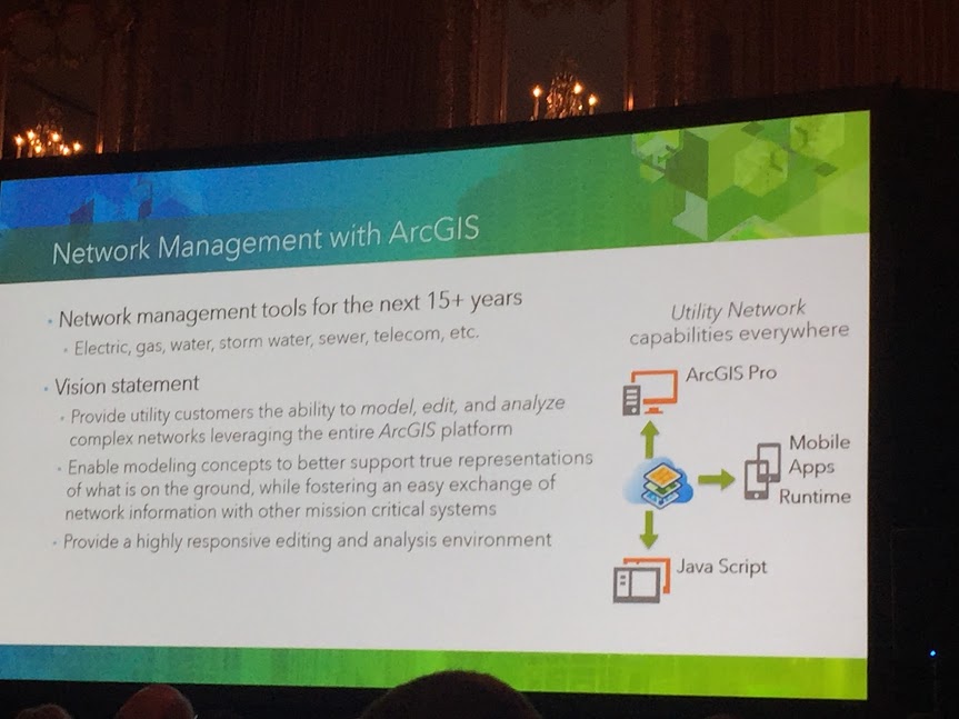
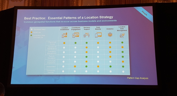
We were happy to attend at the behalf of our gas, electric and telecommunication clients. There is much to look forward to in the upcoming technology. Notably an entirely new Utility Networking system built to last,  Attribute Validation Rules, Survey123 working with Collector & Workforce, ArcGIS Enterprise Builder, Web-based Dashboards, Hexagon Bins ... Well lets just say it was all notable. 

Ask us more!

Water Maps getting back to Normal

The Town of Normal, IL is taking great strides in its GIS progress under the leadership of two highly talented professionals.  IT Director, Teri Legner and GIS Coordinator, Cassidy Killian are currently working with the water department to update all of their old maps.  The water distribution system is currently all mapped out in CAD however it is not exactly to scale, causing a huge challenge when trying to convert to GIS format.  Normally a simple georeferencing process can stretch or rotate the old maps to fit, however in this case it was not a practical approach due to the scale variance.  

Cloudpoint was brought in to help with this process consisting of referencing old records such as pdf valve cards, construction drawings, and CAD data to reconstruct the data in a GIS environment.  The newly converted data will be in Esri's local government data model and can be easily integrated into all of the latest Esri tools, maps, and apps including the Water Utility Network Editing and Reporting tools which are freely available to the Town as part of their current Esri licensing.  Soon the GIS department will be able to use this new GIS layer for water distribution applications such as valve isolation traces, reporting, and customer outage notifications or boil orders.  

As-built record drawings were scanned to pdf and used for reference in constructing the GIS layers

As-built record drawings were scanned to pdf and used for reference in constructing the GIS layers

Water main details are incorporated into the GIS which can later be used for system-wide analysis and reporting.

Water main details are incorporated into the GIS which can later be used for system-wide analysis and reporting.

Having Trimble GeoXH units on hand will allow the water department staff to further "fine tune" their data and collect GPS information with greater accuracy.  The professional staff at Normal has displayed great insight in migrating their data to the GIS environment and using the resources they have in place.