New Projects

Cloudpoint Brings Indoor Mapping to Life

Cloudpoint Brings Indoor Mapping to Life

After months of preparation and work, Cloudpoint is proud to announce they have officially landed a major Indoor Mapping project. When a large manufacturer in Davenport, IA reached out for help with visualizing their facility and interior assets, Cloudpoint was more than ready to answer the call. Their specific request deals…

Taking Emergency Response to the Next Level

Taking Emergency Response to the Next Level

With the State of Illinois’ impending transition to a Next Generation 9-1-1 system (NG911), many 911 agencies are currently working to update their GIS data. Agencies are required to have GIS data for their emergency service boundaries, road centerlines, and…

Cloudpoint Brings GIS To Small Towns

Cloudpoint Brings GIS To Small Towns

Cloudpoint is pleased to partner with surveying and engineering firms to bring GIS to these firms’ small municipal clients. Recently Brown & Roberts Inc. and Benton & Associates contracted Cloudpoint to provide GIS services to the City of Harrisburg, IL and…

City of Rockwall, Texas gets Parcel Mapping upgrade

Rockwall TX.jpg

Cloudpoint Geographics’ Land Records team will be providing parcel fabric migration services to the City of Rockwall, TX. The City has approximately 18,000 parcels and would like to take advantage of Esri’s most advanced parcel mapping functionality. With the new fabric they can take advantage of Plan Directory, Least Squares Adjustments, Control Points, Historic Parcels layer and more. For more information on how you can benefit from Esri’s parcel fabric please contact Cloudpoint’s Land Records team.

City of Bloomington looks to optimize routes

A typical automated collection truck outfitted with optimized routing is an efficiency machine

A typical automated collection truck outfitted with optimized routing is an efficiency machine

The City of Bloomington is practicing good stewardship for the tax payers and looking to improve efficiencies for its solid waste collection program.  To do so, they have hired Cloudpoint Geographics to look at existing garbage pickup locations and  compare them with the GIS roadway network to find the most optimized routes of travel.  These optimized routes will help identify the most efficient routing pattern for trucks based on travel times and traffic patterns.  Some of the benefits the City hopes to recognize as a result include improved customer service; cost savings on fuel, staff, and equipment; equitable workload for route drivers; and the ability to utilize this data for future GPS and real-time monitoring applications.  Questions regarding route optimization can be directed to Jon Hodel at (877) 377-8124.

World's Greatest Little City (just got better)

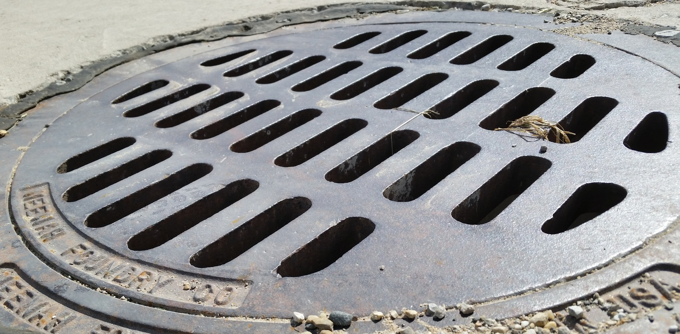
We are excited for the opportunity to work with the City of Mendota, IL (The World's Greatest Little City as noted on their hompage) on implementing a city-wide utility GIS.  The City has contracted Cloudpoint to collect all utility assets with high-accuracy GPS and create maps of each distribution system.  The project includes water distribution, storm water network, and sanitary system.  This information will serve as the foundation of the City's future CMOM (Capacity, Management Operation and Maintenance) plan as required by the U.S. Environmental Protection Agency (EPA).  In its simplest form, the CMOM is used for monitoring the operation of sanitary sewers to prevent overloading of waste treatment plants and the overflow prevention of sewage into lakes and streams.

Crews will be using a Trimble Geo XH 6000 for data collection and syncing the data with esri's ArcGIS Desktop software.  Upon completion the city will have a fully functional GIS system for their entire utility network.  The majority of the project is expected to be completed by the end of 2015.