911

Help for the Helpers: NG9-1-1 GIS Grants

Help for the Helpers: NG9-1-1 GIS Grants

Funding Updates

So much goes into transitioning a 911 system to NG911, from changing state policies to buying appropriate equipment to updating GIS data. This upgrade comes with a large price tag. There are a lot of variables and scenarios were calculated in the report to Congress, but we’re talking in the ballpark of $14 billion dollars nation-wide. Available funding varies widely by state, but…

Taking Emergency Response to the Next Level

Taking Emergency Response to the Next Level

With the State of Illinois’ impending transition to a Next Generation 9-1-1 system (NG911), many 911 agencies are currently working to update their GIS data. Agencies are required to have GIS data for their emergency service boundaries, road centerlines, and…

Tazewell County 9-1-1 Receives GIS Data Upgrade

911Header.png

Late last year, the Tazewell County ETSB contracted with Cloudpoint Geographics to provide GIS Data Cleanup and Configuration in preparation for NG9-1-1. The contract includes the following major components that will be configured and delivered through Esri’s ArcGIS platform including ArcGIS Online for communities to submit updates to road centerline and address data.

  • Data Assessment to review existing data and analyze errors

  • Integration of GIS updates with the Client’s CAD (Computer Aided Dispatch) system

  • Coordination with local agencies to incorporate local GIS data layers

  • Building structure points layer with classification

  • Spatial updates to road centerlines and address points

  • Correcting topological errors in boundary layers

  • Converting data format and spatial reference to State of Illinois’ NG9-1-1 Data Standards

  • Setup & integration of Enterprise GIS for data exchange with local agencies

  • Ongoing GIS data maintenance

The results of this project will assist Tazewell County 9-1-1 dispatchers and emergency responders by improving data accuracy and increasing efficiency in response times. Additionally it will provide increased communications between the county 9-1-1 and local addressing authorities. For more information regarding Cloudpoint’s NG9-1-1 GIS data services please contact us or visit our NG9-1-1 services page.

Henderson 911 Addressing.

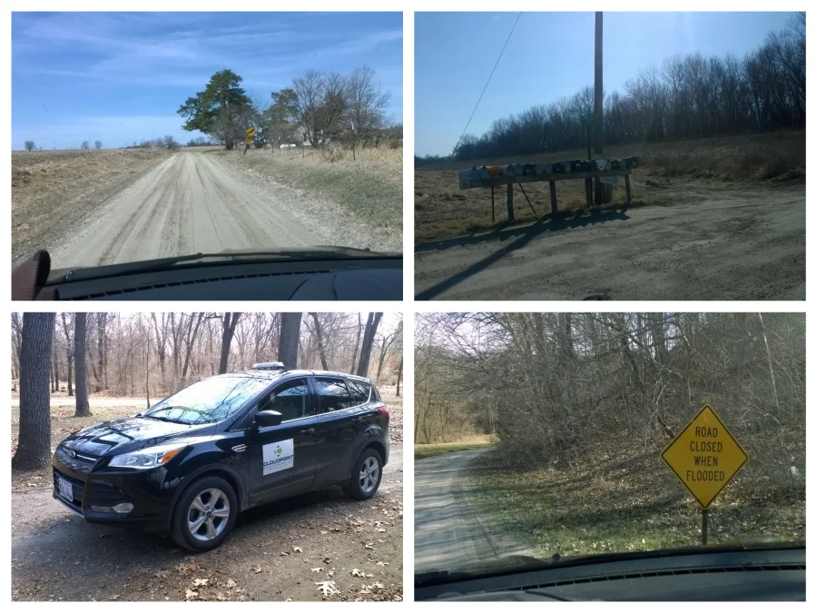
Cloudpoint staff has been busy on the roads of Henderson county, Illinois. We have been contracted for the purpose of implementing a rural addressing program to improve emergency response to rural areas and enhance postal & parcel deliveries. A rural addressing program will also help serve residents by improving the use of vehicle navigation systems. Namely finding addresses digitally in Henderson Co. has been tough, this will make it easier. We are closely working with the US Post Offices in Henderson County to make the addressing assignments make logical sense.

There are several phases to this process. data collection, address assignment & delivering of the data in a viable format to the county. Digital records are great for those who have digital mapping capabilities. Cloudpoint will provide the Henderson County Sheriff’s department with an updated database (csv, MS Excel, shapefile, or other GIS format) with old and new addresses. As well, we will create and provide a dry erase wall map containing road names & incorporated areas upon completion of the project. 


Pictures from around Henderson County during our 911 addressing data collection phase. 

Above are several images from the initial part of the data collection phase (all photos were taken while the vehicle was stopped). This project is a great example of the diversity of talent that Cloudpoint Geographics has. From 911 addressing to Parcel management to Utility inventories we have the skills and understanding to get the job done.