
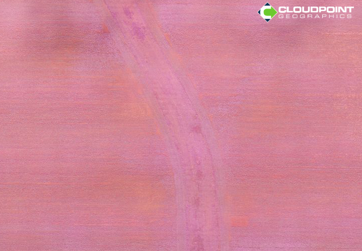
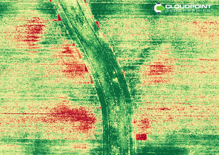
Generally speaking, our eyes don't see very much. Even less from far away. Technology has learned to augment our sight with sensors that can see other parts of the Electromagnetic Spectrum. (think Geordi LaForge) This is especially important when it comes to plant health. Part of the spectrum (Near Infrared) can actually visualize chlorophyll in plants. The Normalized Difference Vegetation Index was developed decades ago to measure the health and vitality of plants by rating the amount and movement of chlorophyll.
Once this measurement was limited to satellites only. When instrumentation got smaller and cheaper, this technology was added to traditional aircraft and that 4th band (NIR) was captured during the course of fly-overs by states and local governments. It was sold at a premium, of course.
Currently, UAVs have changed the market again.
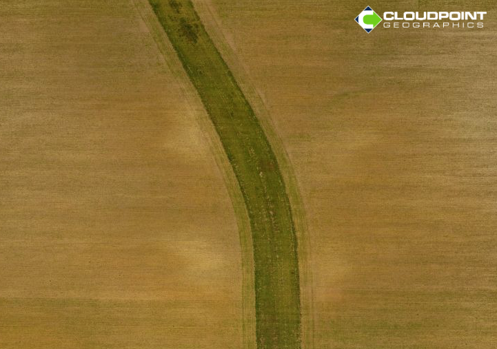
Cloudpoint is proud to offer this service to our clients now on a small-scale but still very large-scale. Our UAV will capture imagery (RGB & RGN) from about 300-400' above the ground. This allows for 1" pixels of the entire area. One of our Certified UAS Pilots (we have 2) can fly a field, forest, golf course, subdivision or park and we can return a NDVI image of that area within 24 hours. This is great for any grower or groundskeeper to know the exact area that is in need of assistance before that blight spreads. Plus, with our professional team of geo-spatialists, ground control can be added for even more accuracy.
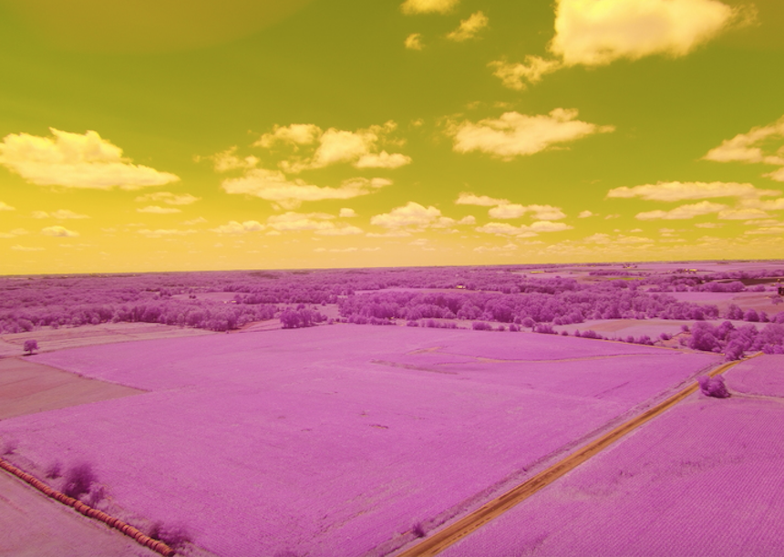
Also, it just make for cool shots of the sky.
