Jodi, Tyler, and Matt have been a part of the team for 5 years! Though they all have differing roles, they each surpass their work titles to serve both staff and clients. It’s evident that these three will drop what their doing to help you. Jodi, Tyler, and Matt, you have been crucial in providing quality services to clients and keeping Cloudpoint well and thriving.

Tyler (Left), Matt, and Jodi pictured outside our office.
In separate interviews with all 3 employees, they all said there favorite thing about working at Cloudpoint was the rest of the staff and the fun that we have together. These answers spoke louder than I thought to who we are and what we stand for are here.
We have had many staff lunches, Friday afternoon mini-golf games, and laughs together in our normal days’ work. It is clear that we are not just co-workers but a team here at Cloudpoint.

Jodi at her desk ready to greet clients or staff returning from lunch with a smile.
Jodi:
She is a jack of many trades here at Cloudpoint. Her duties range anywhere from administrative to bookkeeping to marketing. Jodi enjoys doing the books the most out her daily duties. In a typical day, she makes trips to the bank, works on marketing lists, answers the phone, approves time-sheets, and much more. She has many responsibilities behind the scene that allow us to work with ease knowing she’s got our back.
Jodi, her husband, and 3 boys plan to visit each state. This year they planned to go to California, Oregon, and Washington and now they are waiting to see if COVID-19 guidelines change. Her family loves to spend time outside in sunny or snowy weather by going hiking or skiing.
Thank you, Jodi, for your dedication to making sure that everyone, staff or client, is taken care of! Your work does not go unnoticed!
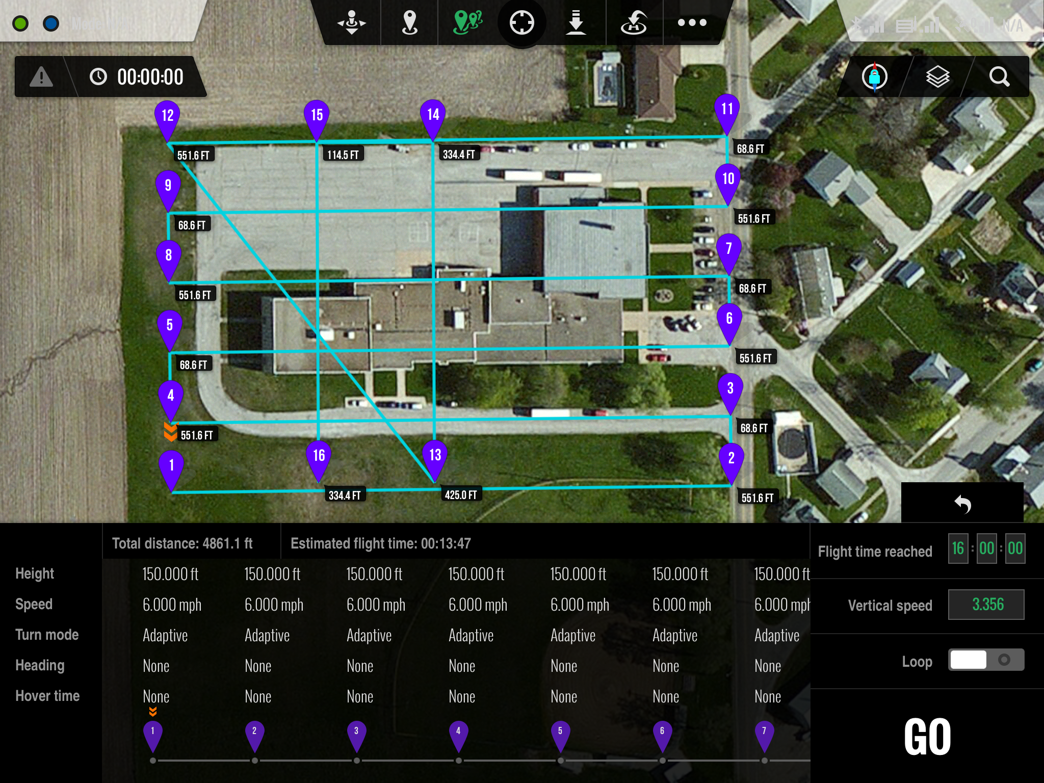
Tyler pictured here using Collector on the IPad which is connected to the Trimble R2 GNSS to gather GNSS data.
Tyler:
Tyler bounces between working in the office and doing field work. His titles are GIS Technician and Drone (UAV) Pilot. He has helped with culvert and sign inventories, overhauling utility networks, and much more. Out of Tyler’s array of duties his favorite in GNSS Data Collection.
Outside of work, Tyler is a student at Illinois Central College studying Geography which keeps him busy during the school year. He will be finishing his associates in science this fall. In his leisure, he also enjoys playing Frisbee golf.
Thank you Tyler for your hard work and willingness to always give a helping hand!
Matt:
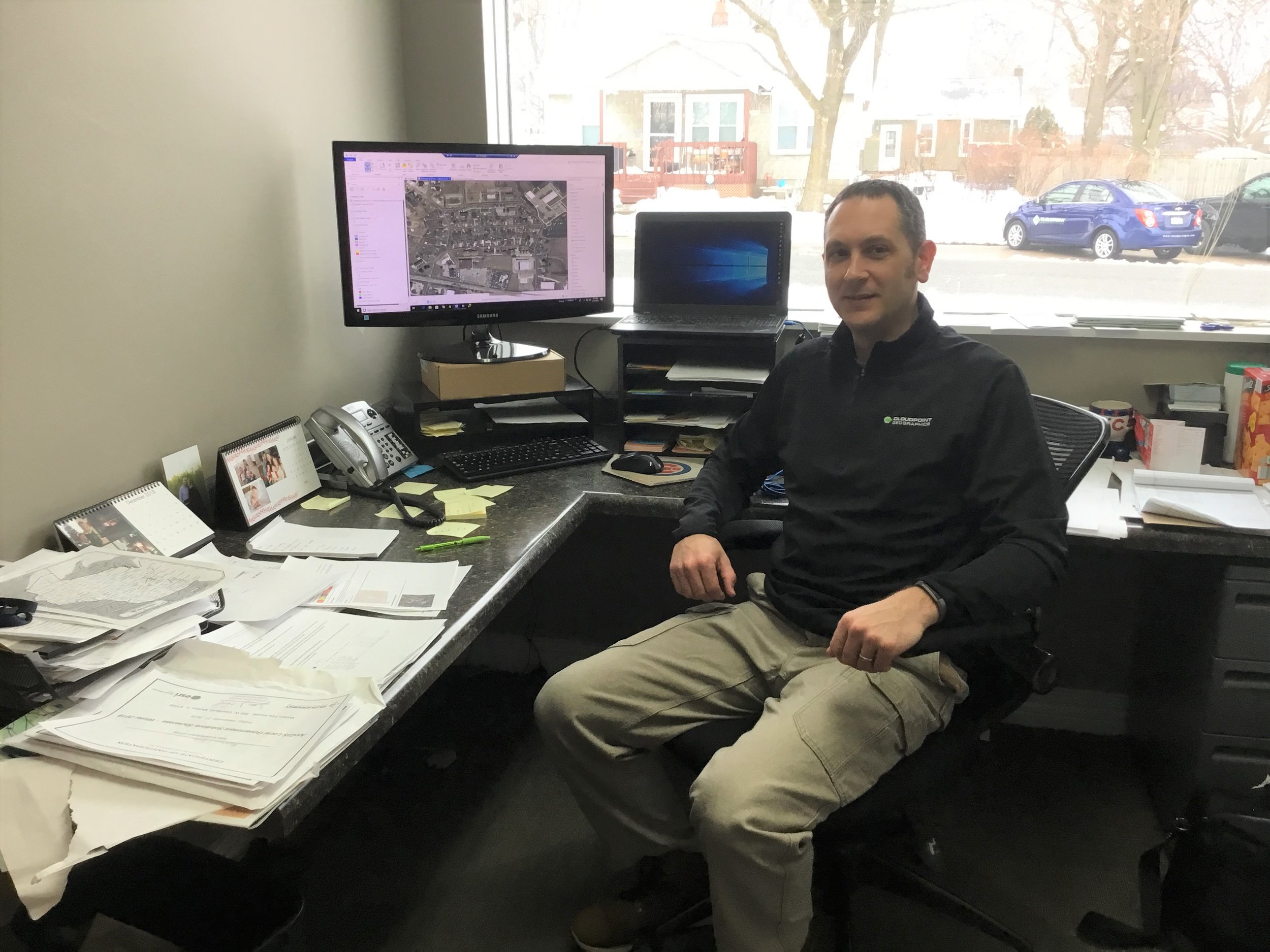
Matt provides a lot of our managed services for clients. Even on days he is not at a client site, you can often find him on a call or fulfilling a request someone has sent to him. However Matt says he loves the variety of work for which we are grateful. Aside from managed services, Matt does a majority of the work for our Parcel fabric clients. He is also the leader of our Parcel Fabric team.
Matt makes sure to keep up with sports such as baseball, and basketball. He is also a coach for his son’s baseball team this year. Though not a sport, he also enjoys hiking, getting outside, and live music.
Thank you, Matt for all you do in keeping up with our managed services clients as well as the diligence you put forth in your work!

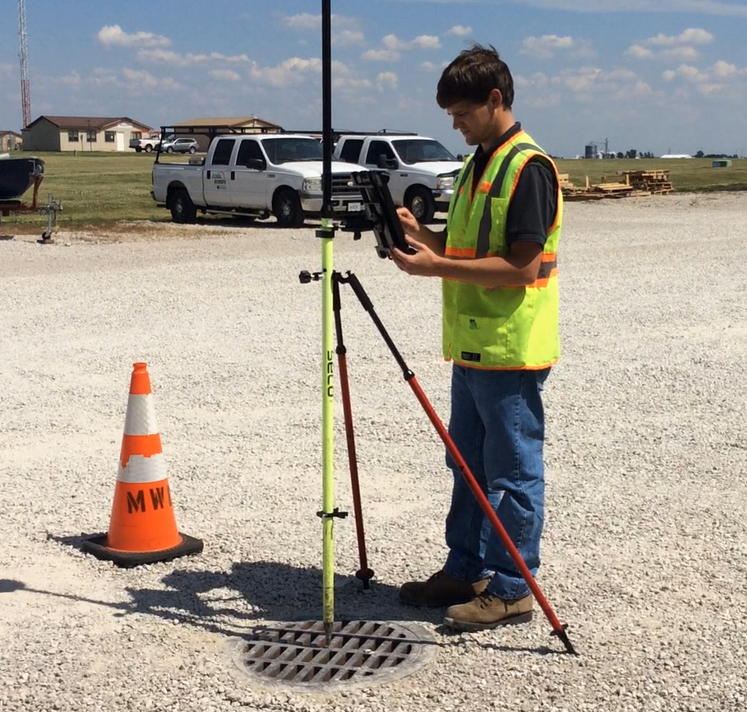
Matt is pictured here diligently assisting one of our county clients with parcel fabric data maintenance.