OGS

No GIS? No Problem!

No GIS? No Problem!

What is stopping you from accurately locating all of your assets in the field and using that information to make informed, data driven decisions - Cost? Time? Outdated equipment or software?

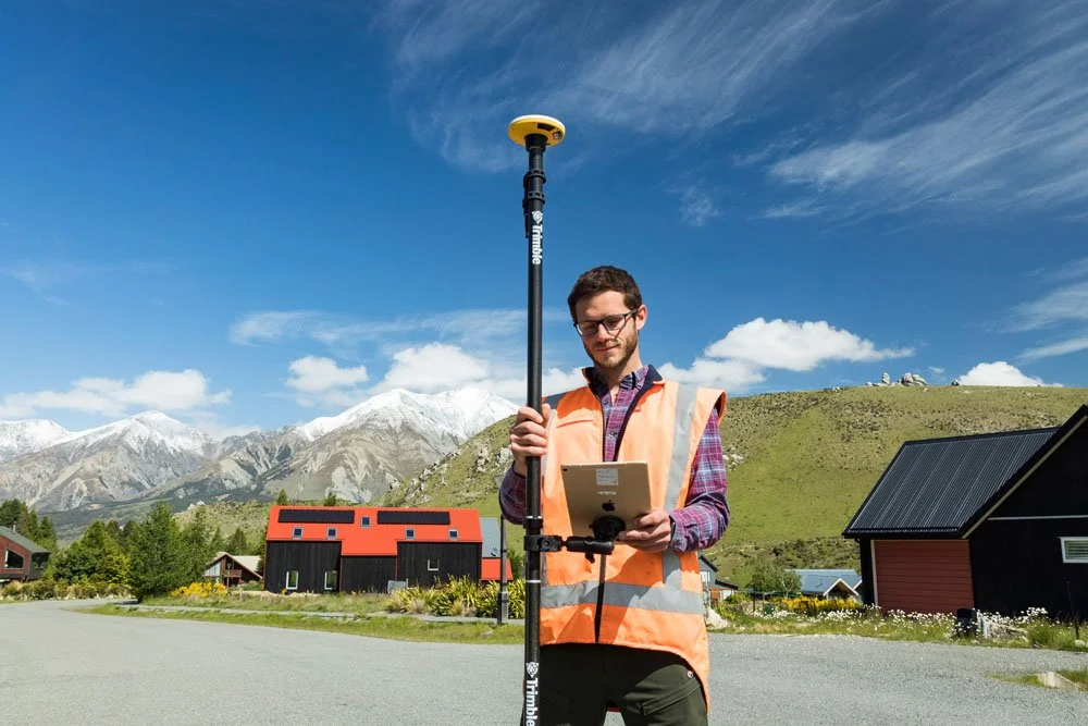
Cloudpoint has been assisting clients with asset data collection for more than a decade, all while watching the technology continually improve and becoming more affordable at the same time. Gone are the days that a smaller organization would not be able to consider reaping the benefits of GIS. With these advancements we are able to bring GIS to any organization with an affordable, easy-to-use, mobile and collaborative environment.

ESRI Community Map Program- Providing Feedback on Basemaps

ESRI Community Map Program- Providing Feedback on Basemaps

In 2010, ESRI started the Community Maps Program with the goal of enhancing and updating their foundational basemap layers with current and detailed local data. Over a decade later, tens of thousands of updates have been made using the tools available from the program. By contributing data, the community itself benefits from having local knowledge input directly into ESRI maps. This additional data helps power advanced analysis and can be used to create in-depth story maps. Apart from the direct use of updating basemaps, this collection of local data also helps to enhance and power the ArcGIS Living Atlas layers.

Turn Back The Clock With Old Tech

Turn Back The Clock With Old Tech

A client with some old technology-Zip disks, a Zip drive, and a Windows XP machine- asked us to extract the files and compare to the current data. What follows is a general overview of how we “turned back the clock”, detailing the process used to knock the dust off of the old technology and bring it to life in late 2020.

Top 5 differences between ArcMap and ArcGIS Pro

Top 5 differences between ArcMap and ArcGIS Pro

Are you an occasional Esri software user that is needing to ramp up your game?  Maybe its been a couple of years since you dabbled with the GIS software and you have a project that needs a little geospatial touch.  One of the questions you may find yourself asking is "What is the difference between ArcMap and ArcGIS Pro"? 

Extend a Hand: Symbolizing Related Data in ArcGIS Online is Within Reach

Extend a Hand: Symbolizing Related Data in ArcGIS Online is Within Reach

A very popular and enduring request of the ArcGIS Online user community has been to have the ability to symbolize features based on data that’s stored as a related record. Well, Esri has listened- and released in a June 2018 update to ArcGIS Online the ability to use related records data like never before. We now have the ability to symbolize and manipulate our data in ways that we previously limited.

Spring Clean Your Web Apps With Group Layer Lists in Web AppBuilder

Spring Clean Your Web Apps With Group Layer Lists in Web AppBuilder

Esri plans to implement group layers for ArcGIS Online feature services in the future, but until then, here is an alternate method to clean-up content in a web app by configuring Group Layer Lists to organize layers in Web AppBuilder.