GIS for 9-1-1

Taking Emergency Response to the Next Level

Taking Emergency Response to the Next Level

With the State of Illinois’ impending transition to a Next Generation 9-1-1 system (NG911), many 911 agencies are currently working to update their GIS data. Agencies are required to have GIS data for their emergency service boundaries, road centerlines, and…

Tazewell County 9-1-1 Receives GIS Data Upgrade

911Header.png

Late last year, the Tazewell County ETSB contracted with Cloudpoint Geographics to provide GIS Data Cleanup and Configuration in preparation for NG9-1-1. The contract includes the following major components that will be configured and delivered through Esri’s ArcGIS platform including ArcGIS Online for communities to submit updates to road centerline and address data.

  • Data Assessment to review existing data and analyze errors

  • Integration of GIS updates with the Client’s CAD (Computer Aided Dispatch) system

  • Coordination with local agencies to incorporate local GIS data layers

  • Building structure points layer with classification

  • Spatial updates to road centerlines and address points

  • Correcting topological errors in boundary layers

  • Converting data format and spatial reference to State of Illinois’ NG9-1-1 Data Standards

  • Setup & integration of Enterprise GIS for data exchange with local agencies

  • Ongoing GIS data maintenance

The results of this project will assist Tazewell County 9-1-1 dispatchers and emergency responders by improving data accuracy and increasing efficiency in response times. Additionally it will provide increased communications between the county 9-1-1 and local addressing authorities. For more information regarding Cloudpoint’s NG9-1-1 GIS data services please contact us or visit our NG9-1-1 services page.

Scott County receives GIS Data cleanup for NG9-1-1

Scott County IA.png

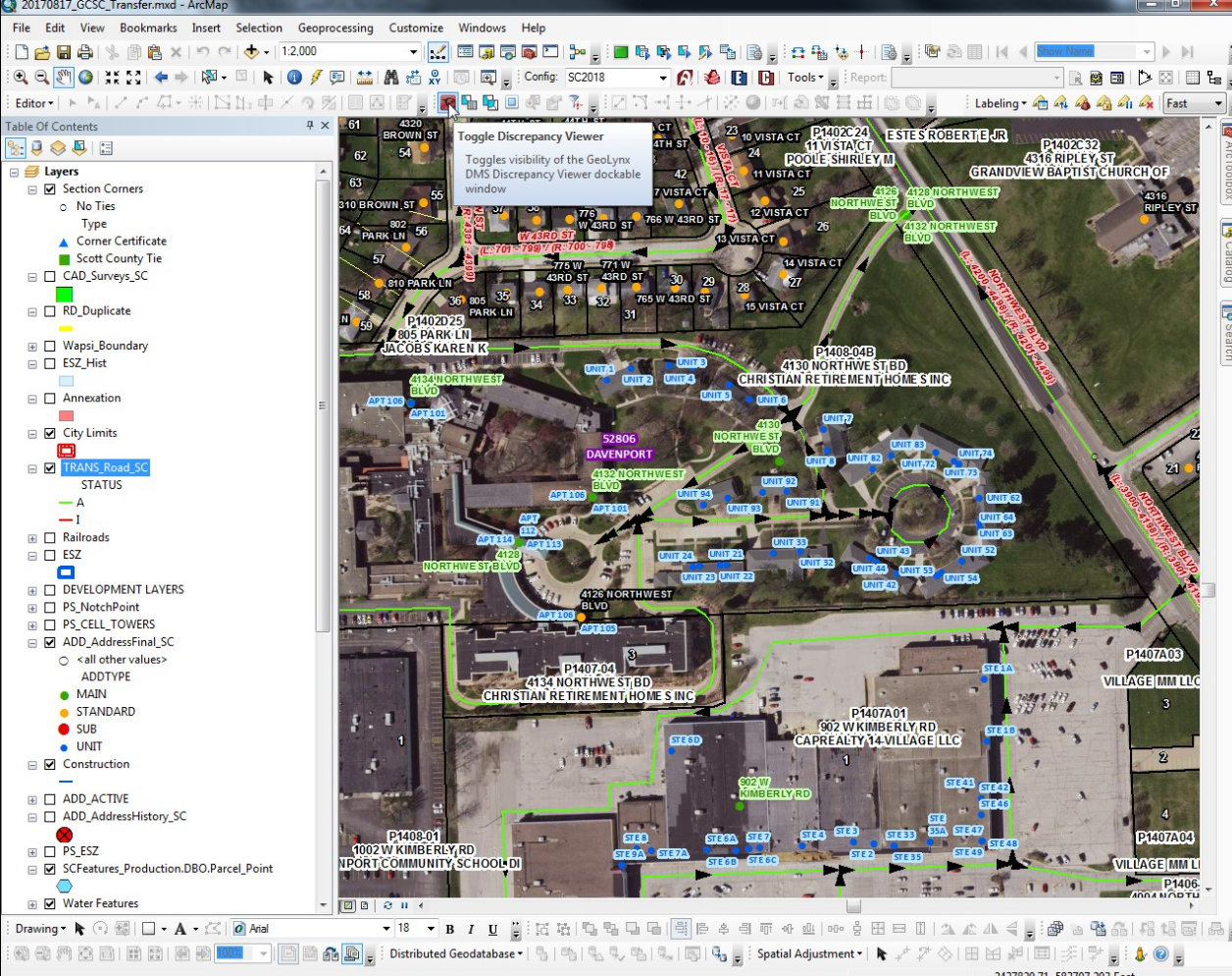
When Scott County, Iowa had a recent opportunity to secure grant funding to provide GIS data cleanup for NG9-1-1 they took full advantage and contract with Cloudpoint to compete this work.  The project had a very tight time frame being completed in less than 60 days.  This work involved cleanup of Emergency Service boundaries in the GIS, as well as repairing road centerline geometry, correcting road centerline address ranges, directional errors in digitize roadway directions, and reviewing site address data points that fell out of range with the centerlines.  Cloudpoint was able to complete this cleanup work using tools including curves-to-lines in ArcGIS Pro, creating topologies, and using the 'Align To Shape' tool for aligning emergency services boundaries with road centerlines and administrative or political boundaries where applicable.  Overall the project involved a over of 88,000 address points and more than 2,300 centerline miles.  Cloudpoint continues to provide high quality GIS data services for state and local governments throughout the Midwest.  For more information contact our office at 877-377-8124.

A screenshot of address points, road centerlines, and emergency services boundaries requiring review and data cleanup for improving emergency response and dispatch for NG9-1-1 services in Scott County, IA.

A screenshot of address points, road centerlines, and emergency services boundaries requiring review and data cleanup for improving emergency response and dispatch for NG9-1-1 services in Scott County, IA.