ArcGIS Indoors Just Got Smarter: Key Updates You Should Know
- Ty Weszt

- Sep 15, 2025
- 3 min read
Updated: Sep 26, 2025
Indoor mapping is quickly becoming a must-have for organizations that manage facilities, campuses, and workplaces. ArcGIS Indoors is Esri’s solution for floor-aware mapping, enabling space management, wayfinding, and asset tracking across desktop, web, and mobile environments. With the recent release of ArcGIS Pro 3.5, ArcGIS Enterprise 11.5, and the June 2025 quarterly update to ArcGIS Online, several new features have arrived that streamline workflows and improve usability.
ArcGIS Pro 3.5 Enhancements
In ArcGIS Pro, one of the most noticeable changes is the redesigned floor filter. Previously, users could only filter one building at a time. Now, you can view an entire campus floor by floor—an upgrade that’s especially useful for colleges and universities, hospitals, and other large sites where cross-building visibility matters.

Editing has also been streamlined: Tools like Split, Move, and Copy/Paste now automatically populate Indoors fields and attributes, reducing repetitive work. Esri has improved the Generate Floor Plan From Point Cloud tool, and although cleanup is still required, it’s another step towards automation. A new Generate Indoor Network Features tool has also been introduced, which consolidates what used to be a multi-step process into a single-step process.


Refreshed ArcGIS Indoors Mobile App
Esri has recently released version 2.0 of the mobile app, ArcGIS Indoors, a complete refresh of the mobile experience. The older version of the ArcGIS Indoors mobile app is still supported, but the new version introduces:
An oriented 360° photo viewer
Turn-by-turn navigation with voice guidance
Improved indoor positioning
Custom branding so organizations can apply their own identity
The result is a more modern, immersive app that feels more integrated into an organization’s daily operations revolving around indoor data.
More Power in the Browser
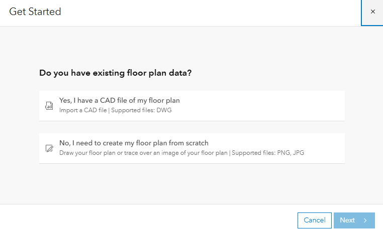
ArcGIS Online now features an Indoors Apps Gallery, putting all your Indoors apps—Viewer, Space Planner, Floor Plan Editor—into one easy-to-access hub. CAD import has also been added directly into ArcGIS Online, giving a straightforward path to creating Indoors data without relying on Pro.

Experience Builder received a practical upgrade, too: the Floor Filter widget now responds to filters, queries, and charts elsewhere in the app. Click on a record, and the map automatically switches to the right floor and location. No manual toggling required—a small change with a big impact on user experience.
Planning by Business Unit
For organizations managing space across multiple departments, a new field called ORG_AREA_ID has been added to the Indoors Information Model. This makes it possible to:
Assign spaces to specific departments or divisions
Split shared areas by percentage allocation
Report more accurately on usage, budgets, and departmental ownership
This feature is especially valuable for campuses and organizations with complex space management needs.

Indoors Meets Mission
ArcGIS Indoors now integrates with ArcGIS Mission, Esri’s situational awareness solution for emergency response and security. With floor-aware maps and indoor positioning, first responders can be tracked inside buildings where GPS typically fails. This opens new opportunities for public safety, law enforcement, and security teams that need reliable indoor visibility.
Taking the Next Step with ArcGIS Indoors
ArcGIS Indoors is steadily evolving from a specialized tool into a comprehensive platform for managing indoor spaces. For organizations ready to take the next step with Indoors, now is the time to explore how these updates can streamline workflows and better connect your people to the spaces they depend on.
Contact our team to learn more about making the most of your indoor spaces with the latest ArcGIS Indoors capabilities.


