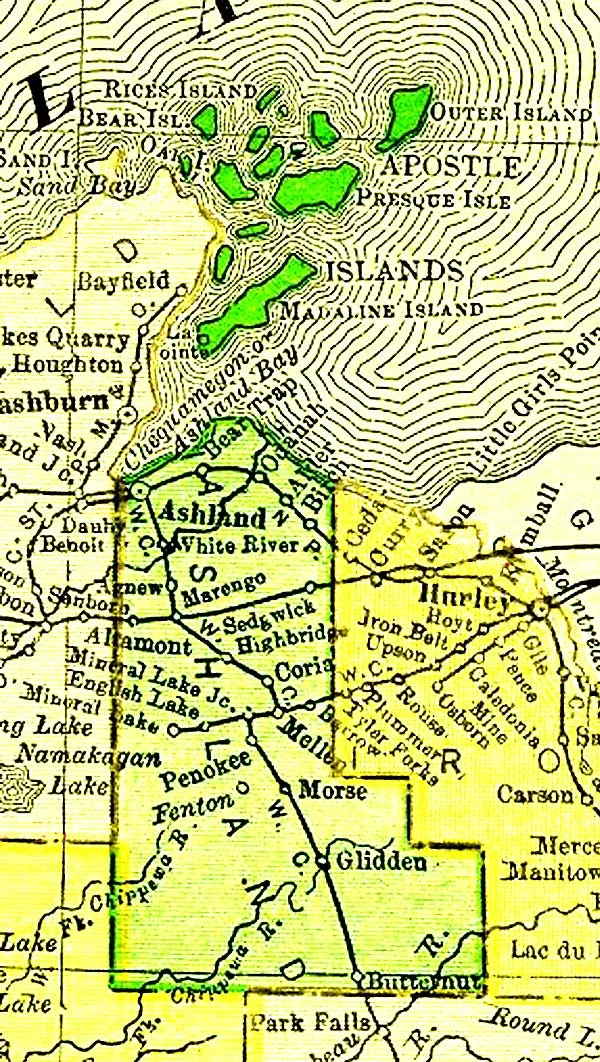
Ashland County, WI has a beautiful setting along the southern shore of Lake Superior and is host to numerous northwoods activities. The County recently decided to upgrade its cadastral GIS layers to take advantage of Esri's newest tools including the parcel fabric. To accomplish this they choose Cloudpoint Geographics to provide professional services involving migrating their data into the parcel fabric within the ArcGIS environment. In addition, Cloudpoint will help the County clean and submit their parcel layer, among others, to Wisconsin's State Cartographer's Office (SCO) as part of Version 3 of the Parcel Database initiative project resulting from Act 20. This work will involve refining parcel data for updated right-of-way information, and linking subdivision plans and survey plats. The County also has a well-established set of GPS control points that will be utilized as part of the project as well. They continue to refine their PLSS monument network and look forward to providing a high-quality GIS system for its internal departments as well as local businesses and constituents. Cloudpoint's professional staff will provide onsite training on the parcel fabric workflows and hands-on assistance with planning future GIS layer creation and development. We are very excited to assist Ashland County in achieving the goals they have established!

Creating a Superior parcel layer in Ashland County
