Cloudpoint would like to congratulate team member Tyler Severson on passing his FAA UAV Drone Pilot exam!
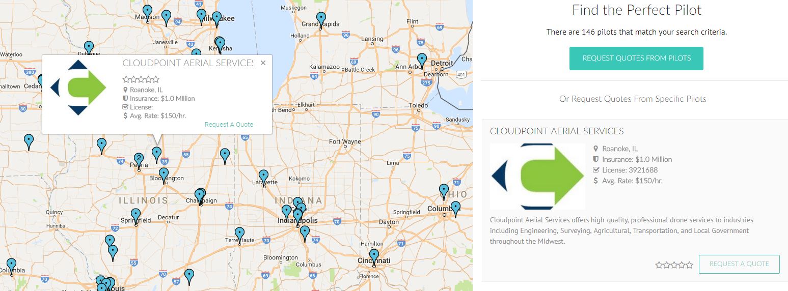
Tyler (Ty) Severson has been an important member of the Cloudpoint team for a little over 2 years. He works on a wide variety of projects including culvert inventories, sign inventories, parcel mapping, and more. Well now you can add being a UAV pilot to the list. Yesterday Ty passed his Federal Aviation Association UAV pilot exam, which will allow him to complete flights for upcoming projects. Ty has been studying hard for the exam as he continues his education at Illinois Central College, and we are very proud to see his hard work pay off. With the addition of another pilot, Cloudpoint has once again positioned itself as the best choice for geospatial services!

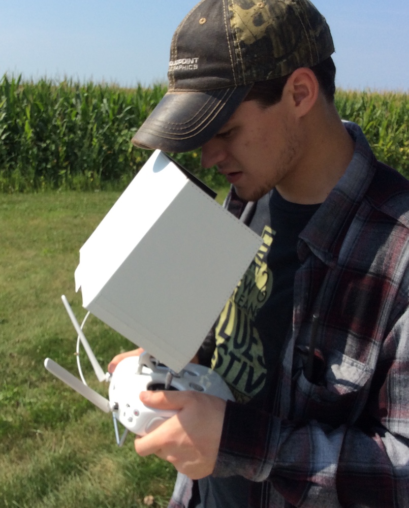
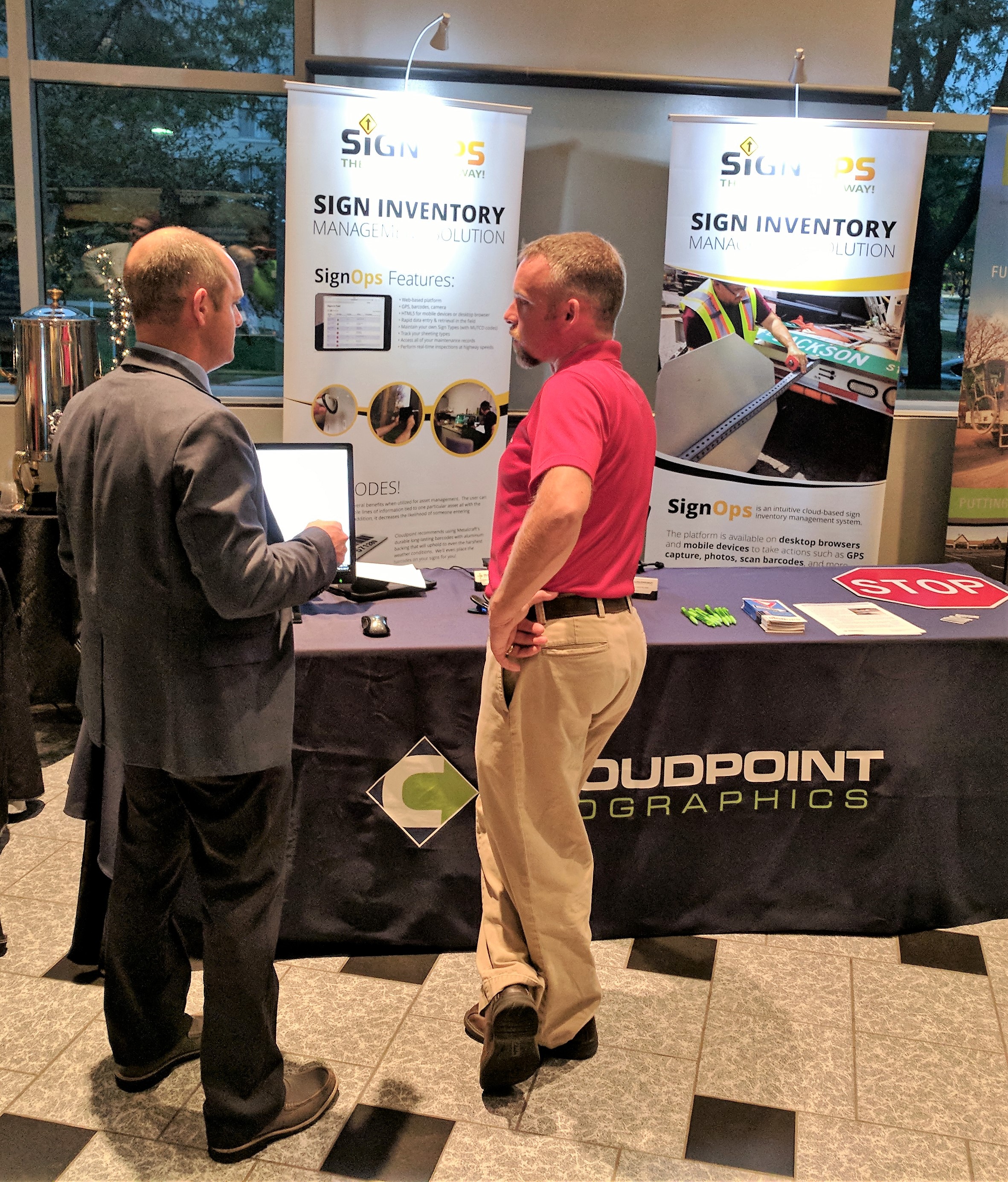
This is in-fact on a different day, he just really-really likes that flannel shirt!
Way to Go Tyler!!!
Want to learn more about Cloudpoint Aerial Services? Give us a call at 877-377-8124 or visit www.cloudpointgeo.com/drones
Where. It Matters