Another year has drawn to a close, and while it may not have run it’s course like we thought it would, our team is thankful once again for our continued success. Below are some of our most memorable highlights of the past year:
Keeping Up With Cloudpoint
“It’s not about ideas. It’s about making ideas happen.” - Scott Belsky

Becoming an Esri Business Partner was a key to fueling company growth and opening doors to new opportunities. “Our company’s partnership with Esri has boosted our name recognition and allowed for expertise to be noticed on a national verses regional scale.” says founder and CEO, Jonathan Hodel. Now this partnership blossoms once again as Cloudpoint announces they have received their ArcGIS Indoors specialty designation. This process involves completing an application to Esri and then demonstrating the company’s capabilities for indoor mapping by providing real-world examples of implementing this robust solution. This is the fourth Esri ArcGIS specialty designation that the company has received adding to its current accolades which include Local Government, ArcGIS Online, and Release Readiness designations.
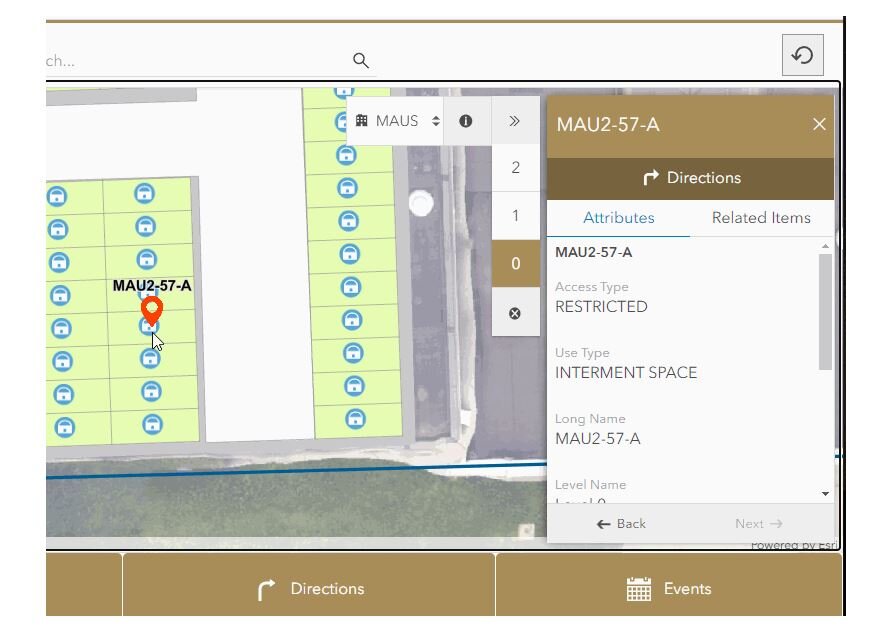
A sample snapshot of indoor mapping application ready to provide asset information or turn-by-turn walking directions. Easily select a building and floor level for easy navigation across a campus. You can image the power of this technology as we mitigate the return-to-work process following the COVID-19 pandemic. Things like space management, foot traffic patterns, route planning, and room cleaning updates can all be tracked via an active Indoor GIS system.
Implementing the ArcGIS Indoors solution across an organization, especially a campus-wide project, requires expertise in several areas of GIS including Enterprise GIS deployment, data conversion of CAD or BIM files, GNSS collection for control points, 3D laser scanning equipment, drone imagery, data curation in ArcGIS Pro, publishing web layers, and more. The Cloudpoint team has experience in bringing all of these capabilities together in a seamless fashion to create an immersive interactive campus experience for the end user.

The end results can be as simple as using Esri’s Indoors web application template along with their Indoors native mobile app, or expanded to include a robust customized GIS interface having the ability to integrate with monitoring sensors and real-time location system (RTLS). For many years, GIS has continued to transform the way people engage with locational data and indoor facility mapping will be the catalyst for engaging in more detail in the future.
For more information on how your organization can harness the power of GIS indoors, visit our Indoors page or contact our team of professionals at 877-377-8124.
Cloudpoint kicked off the year by attending the 2019 NENA conference in Orlanda. Erin Strickler, the NG911 team lead was able to gather more information on standards and expand on the team’s GIS data audit and cleanup capabilities with her additional expertise she brought back.
Cloudpoint team members, Micah and Matt, exhibited at WLIA (Wisconsin Land Information Association) this year. While they were there, they discussed Managed GIS Services, Kickstart Services, NG9-1-1 Data Audits, and Esri’s Parcel Fabrics. Also in February, Jon and his family moved to a different home in Roanoke which his family continues to enjoy the neighbors and the park nearby.
Jon attended the Esri Partner conference for the first time. After Micah encouraged him from his past visits, the opportunity presented itself to enjoy a business vacation, to the West Coast where he and his wife, Megan, represented Cloudpoint at the Esri Partner Conference. They enjoyed seeing popular tourist attractions and going for hikes in their spare time.
April of 2019 marked the 5th birthday of SignOps! This is the application we use to for sign inventory asset management which helps the user to track inventory, maintenance history, collect GPS location, and more for their traffic sign inventories. With its cloud-based features, SignOps comes in a variety of flavors for use on desktop browsers and mobile devices.
May brought exciting new technology as Cloudpoint was able to participate in Esri’s ArcGIS Indoors Specialty training in Redlands, CA. The team is currently working on a pilot project and partnering with Esri to build on its Indoors capabilities throughout the Midwest.
Cloudpoint welcomed two summer interns in June; Titus Williamson and Drew Martin. They helped immensely with projects such as Springdale Cemetery, various Parcel Fabric conversions, and ArcGIS Enterprise intalls.
In June, we started working with a new client; The City of Rockwall was our first client of our Parcel Fabric in the Lone Star state and it has been a joy to work with their staff.
Icecream You-scream were all part of our debt free scream!
July brought more than one independence celebration. We were able to celebrate the payoff of all debt and become a debt free company.
In addition, Matt Junker was able to attend the Esri User Conference. He had a busy week learning and discussing the latest in Parcel Fabric and he even heard about something new called Excalibur.
Jon Hodel was able to attend the CFTA(Campus FM Technology Association) Conference in Austin, TX for the first time this year. Not only was the conference an exciting and memorable experience but the city itself was an amazing experience!
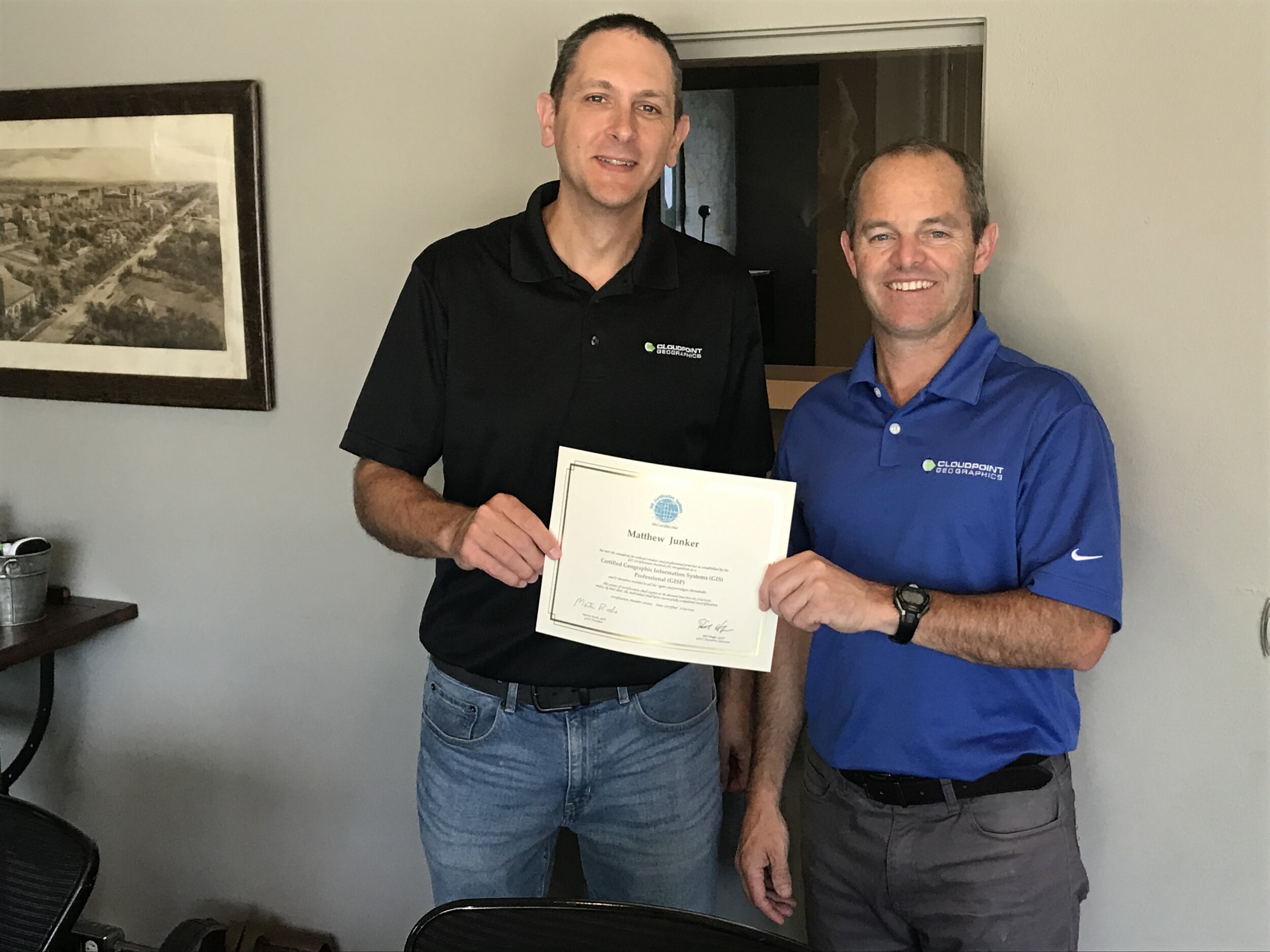
Team member, Matt Junker, became a certified GISP (Geographical Information Systems Professional). Becoming certified is not an easy task. It takes many long hours of preparing and then taking the strenuous GISP Exam. However, Matt survived without a scratch. We are so glad to have a co-worker with a great passion for his work.
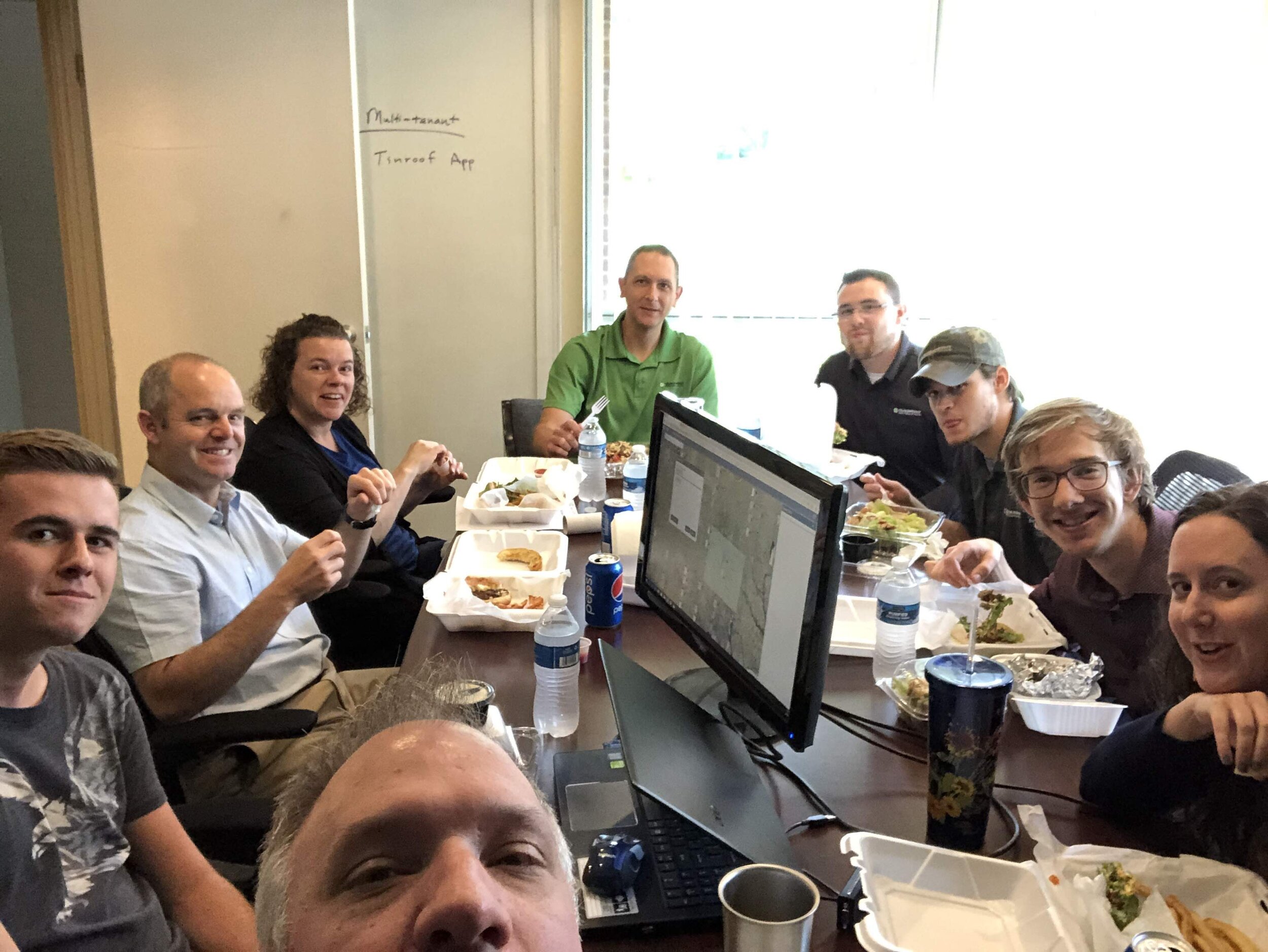
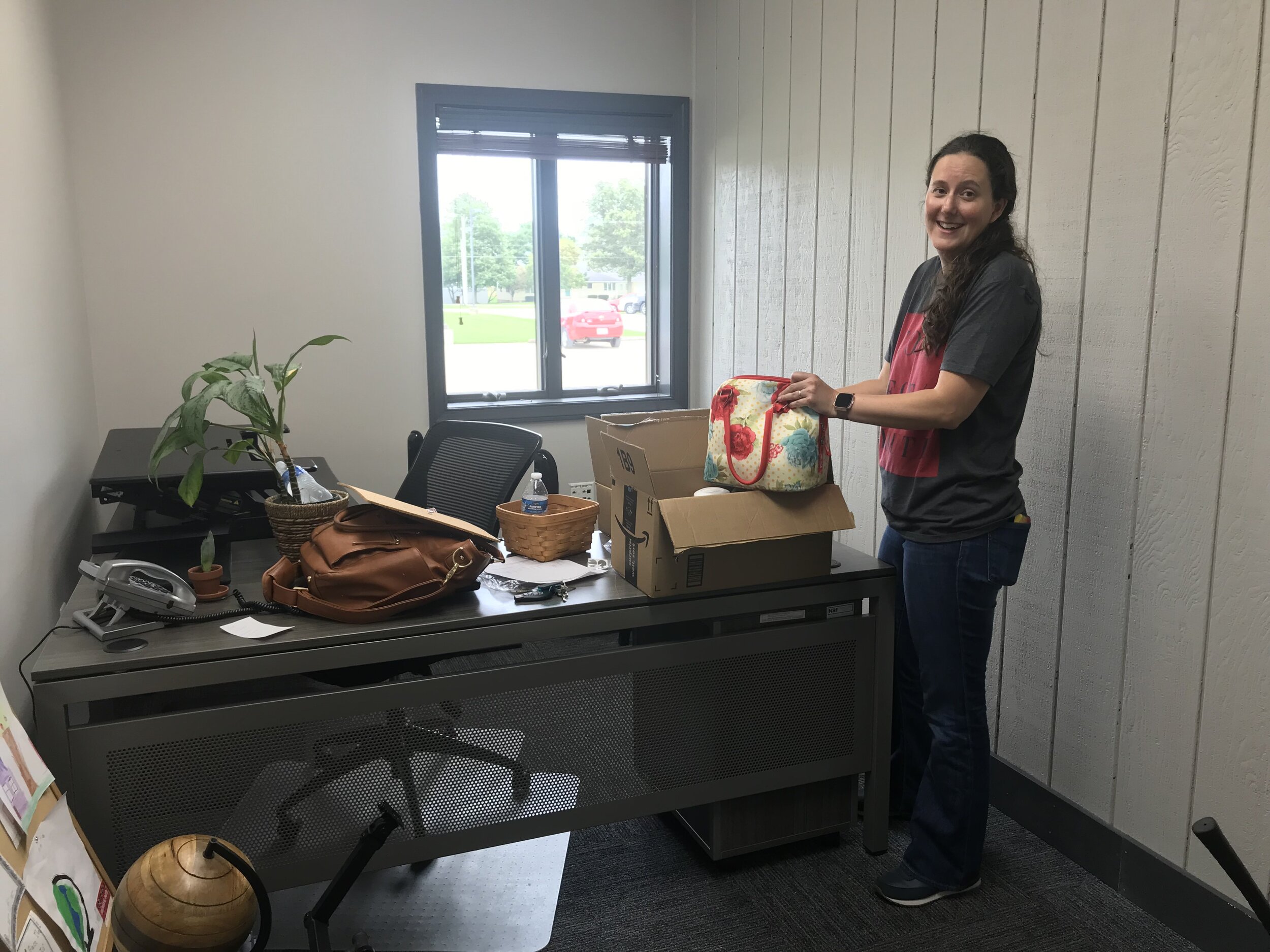
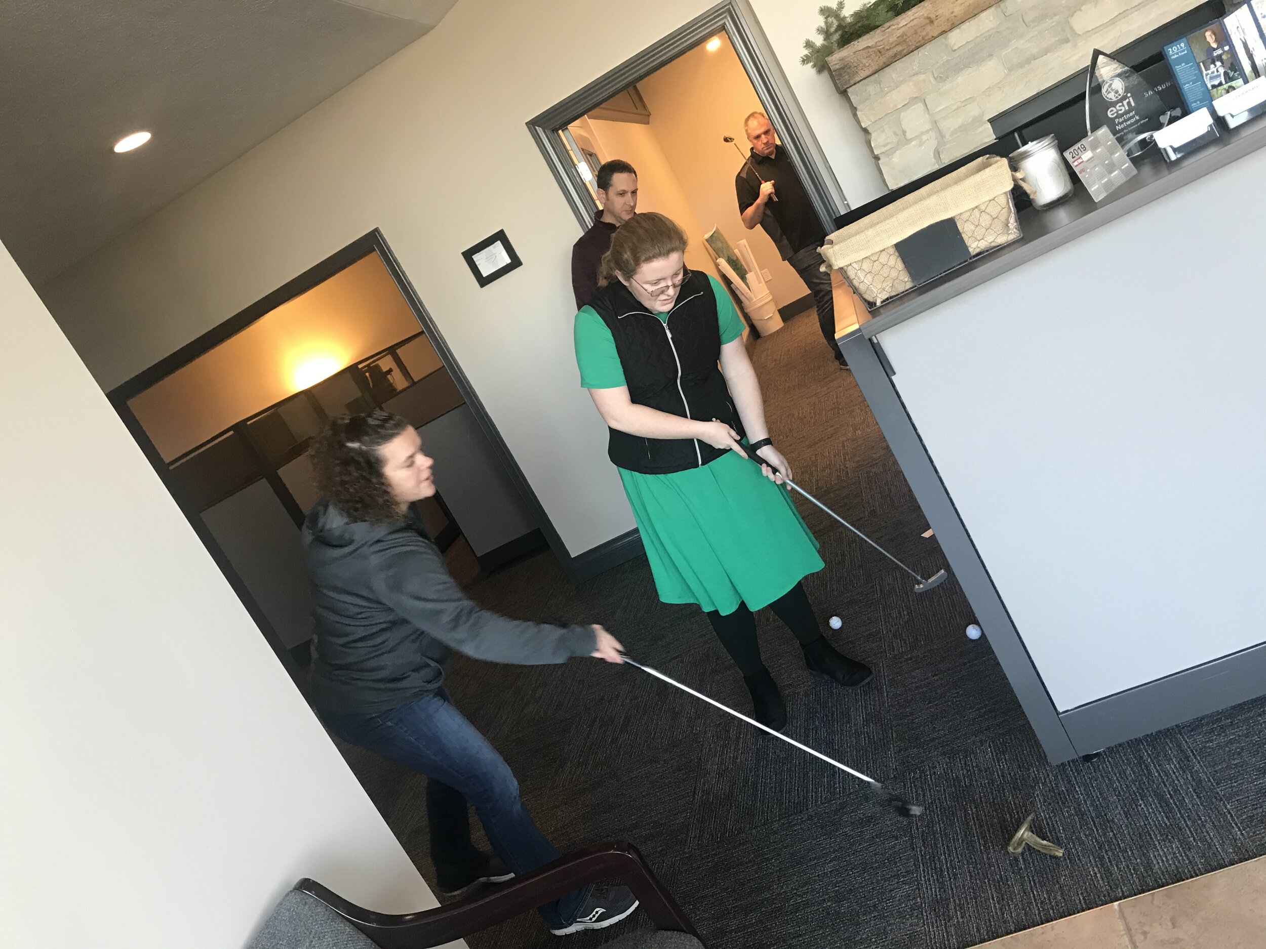
After several weeks of renovation and a few days of moving our belongings across town, Cloudpoint is now able to call Suite B of 1407 W Front St. home. It is spacious and inviting and most importantly a great place for put-put. The stone fireplace adds a great touch and some added warmth in the winter months.
In September, we sought after someone to fulfill the Marketing Intern position. That person ended up being Destyne King, a Junior at Roanoke-Benson High School. She sends out email campaigns, organizes contacts, and writes our blogs (much like this one). After high school, she plans to work as well as attend ICC (Illinois Central College) to earn an Associate’s degree in Marketing/Business then to earn a Bachelor’s at undecided university.
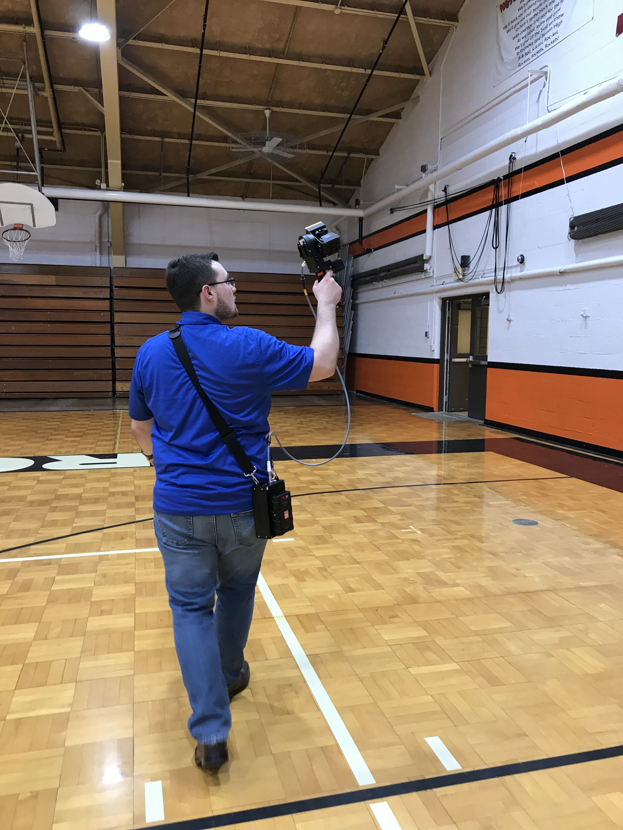
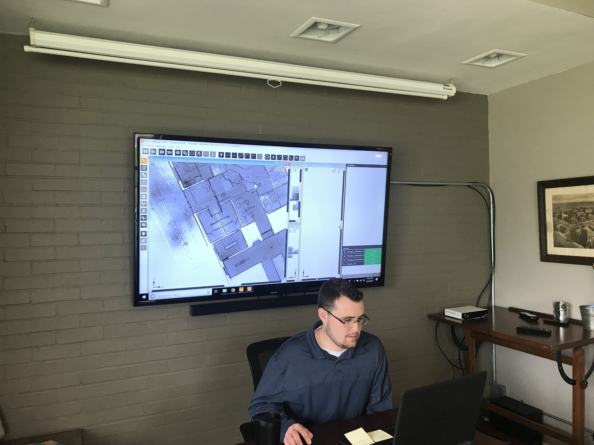
Another project highlighted in Octorber was Westlawn Cemetery, which strives to provide the up-most convenience for their visitors. This is why they called upon Cloudpoint to help them create a visitor’s kiosk. This would enable visitors to search for loved ones when the office was closed. This kiosk is a routing service that leads people to a grave they search for.
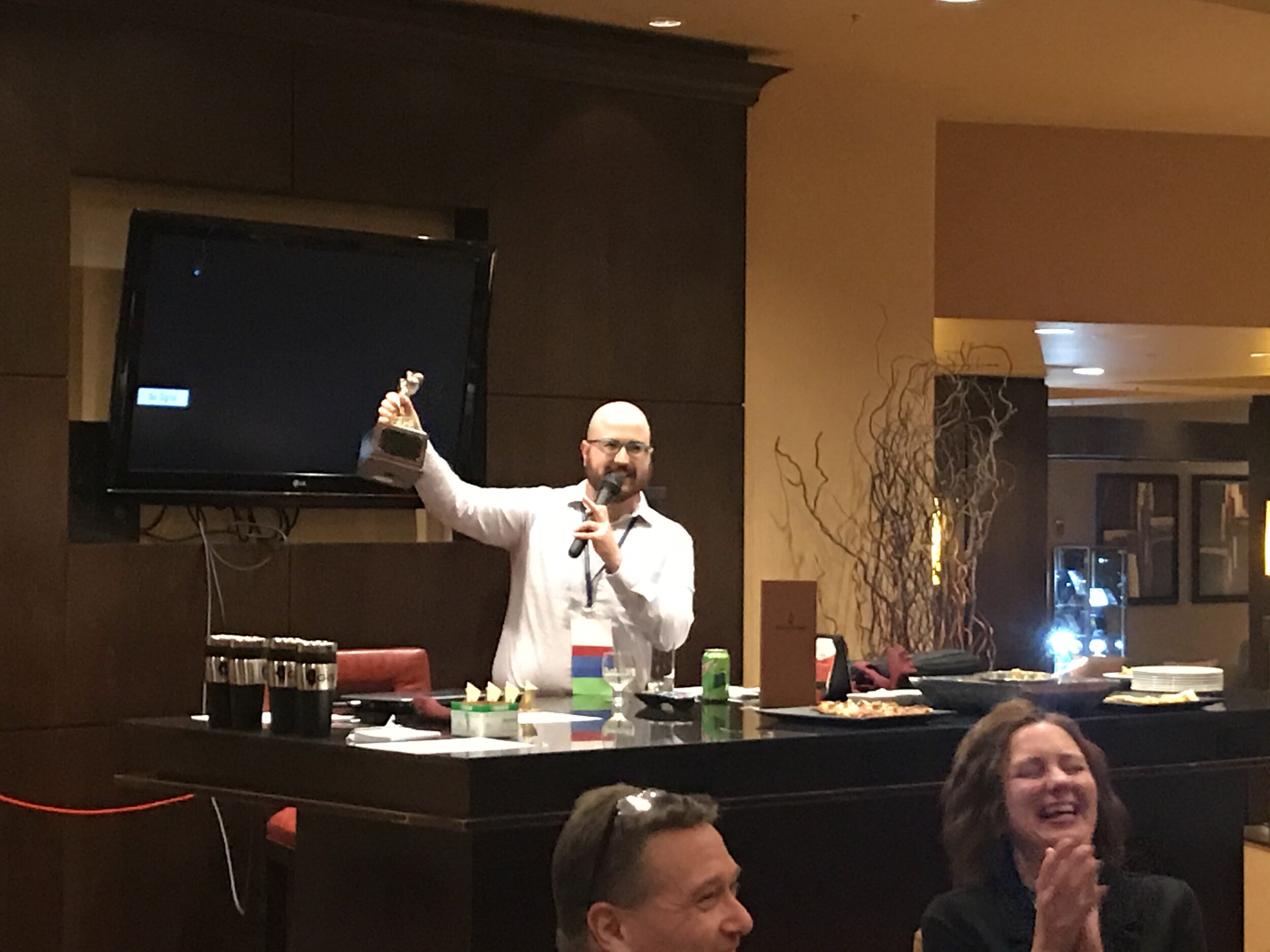
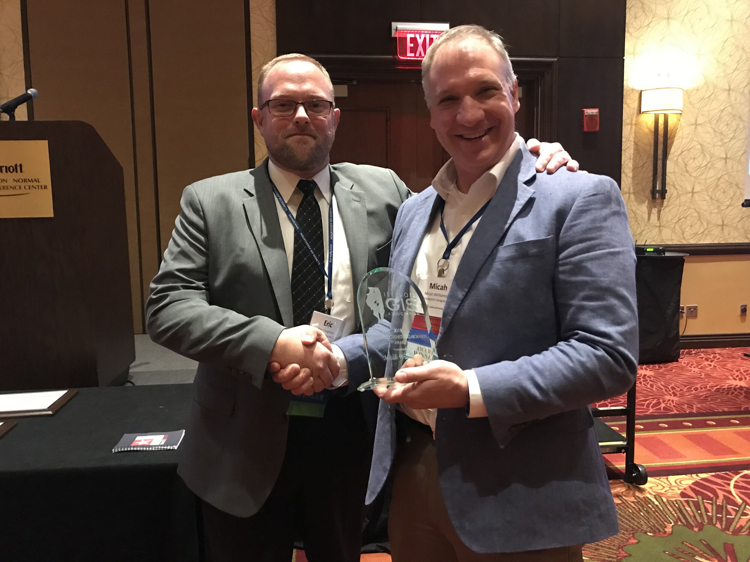
Micah, our Geospatial Services Director and leader of our Enterprise and Ongoing Services team, earned the Hilton Distinguished Collaboration Award at the ILGISA Conference this fall. In an interview, Micah said, “ I’ve always kind of bent towards talking about what someone is doing or encouraging people to go out and present what their doing. Tell your story rather than, you know, keep it quiet.” We are grateful to have a team member like Micah.
Cloudpoint was honored to work with Norcomm, a 9-1-1 consolidated dispatch center in the Chicago land area. We preformed a data audit for Norcomm. By doing this, we check their data to make sure it is able to meet the State’s requirements and play a vital role in the life-saving services that Norcomm provides each day.
Cloudpoint’s, Micah Williamson preparing some last minute technical components of the 2019 winter showcase held in Morton, IL.
As many know, Cloudpoint hosts a winter showcase in Morton annually. Each year’s showcase however is unique. We enjoyed wonderful, engaging talks by Esri and special guest, Glen Wetterow from the City of East Peoria. We are already excited for next year’s winter showcase.
Do you know the quality of your address data in your GIS? Did you also know that the accuracy of this data is of critical importance for the future of NG9-1-1? As an Esri business partner, Cloudpoint Geographics understands the value of ArcGIS Solutions for Local Government, including address data management, and has been implementing these solutions for several years. Our professional staff has the ability to review the quality of your road centerline address ranges, as well as a review of your road names in accordance with standards from the USPS to provide you with a rating score on the quality of your data. In addition they will make recommended updates and provide a cost estimate associated with such updates. The following are just a few solutions powered by Esri's Local Government that the Cloudpoint team can implement for you:

Our local government experience in building GIS solutions on the Esri platform helps us offer value-added services to agencies needing a professional solution in a timely manner. Don't wait for Next Generation 9-1-1 to come to you, make the effort to be prepared. For more information on pricing contact us at 877-377-8124 or submit below.