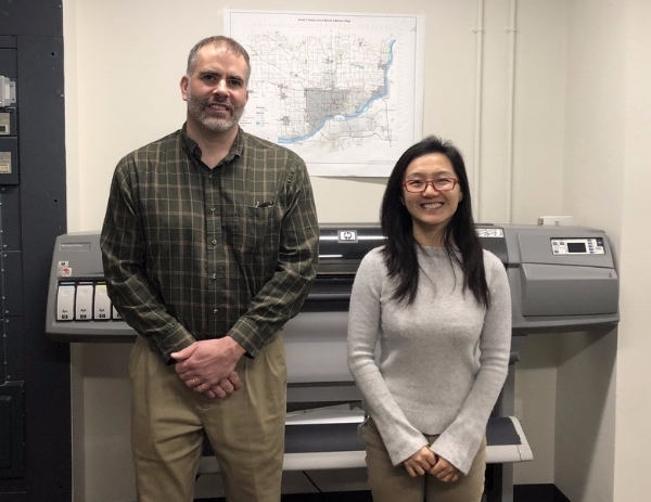
Meet Ray Weiser (left) and Sunny Shang (right) of the Scott County, Iowa GIS Department!
Ray has been with Scott County longer than he can remember, but not long enough to retire. Before that he worked at Shive-Hattery and Bi-State Regional Planning Commission just across the river. Sunny has been with the County for just over 3 years. Prior to that, she completed her masters degree in Geography at the University of Iowa.
Ray manages all aspects of the county GIS, and Sunny provides backup while also focusing on department support and web programming. The County has two ArcGIS server installations and a multi-versioned parcel database that replicates weekly into a publishing geodatabase. They support innumerable public users of the GIS websites which pull layers and data from both ArcGIS Online and an ArcGIS Server instance on Amazon Web Services. Sunny recently built a web-based Integrated Roadside Vegetation Management (IRVM) application which tracks native and invasive species along County roads. The two help the Conservation Department maintain maps & layers of the county’s recreation areas, assist the Health Department to determine at-risk parcels for lead contamination, guide County Assessors to recent permit locations, delineate watersheds and erosion in County ditches for the secondary roads department, and support emergency first responders & computer aided dispatch operations for the Scott Emergency Communications Center.

Here you can see some of the maps that Ray and Sunny have compiled for Scott County.
Since Ray and Sunny are the only two full-time GIS personnel in the IT department, they are constantly using the technology to solve problems for other County departments. The best method of isolating issues for County departments is a simple conversation with County staff. A recent Check-Up from Cloudpoint has helped analyze these relationships and created an opportunity for additional outreach and support actions.
The technology is always changing and updating. Ray and Sunny are involved in several regional GIS user groups and have attended large Esri conferences in the past. It’s difficult keeping up with all of the templates, data models and applications available from Esri but, with some help, this dynamic duo is looking forward to a bright future of GIS with Scott County leading the Quad-City region in GIS and the geospatial field!
Thanks for sharing your experience Ray and Sunny, and thanks for allowing Cloudpoint to assist Scott County in reaching its goals!
