
Cloudpoint Geographics is excited to announce another UAV drone mapping project that is in the works. We will be collecting data at Cog Hill Golf Course in Lemont, IL. Some of you golfers out there are familiar with Cog Hill, but for you other folks, Cog Hill is comprised of 4 separate courses and has hosted numerous Professional Golf Association events including 16 Western Opens and 4 BMW Championships. We will be collecting ground control points and high resolution imagery that allows us to create 3D mapping for various applications. This is the 2nd golf course that we have flown and we're pretty certain it won't be the last! It's a good thing we're mapping the golf course, because that's what we do. If we were golfing at Cog Hill, there'd be several lost balls and more than a few announcements of "FORE!"
Creating a Superior parcel layer in Ashland County
Ashland County, WI has a beautiful setting along the southern shore of Lake Superior and is host to numerous northwoods activities. The County recently decided to upgrade its cadastral GIS layers to take advantage of Esri's newest tools including the parcel fabric. To accomplish this they choose Cloudpoint Geographics to provide professional services involving migrating their data into the parcel fabric within the ArcGIS environment. In addition, Cloudpoint will help the County clean and submit their parcel layer, among others, to Wisconsin's State Cartographer's Office (SCO) as part of Version 3 of the Parcel Database initiative project resulting from Act 20. This work will involve refining parcel data for updated right-of-way information, and linking subdivision plans and survey plats. The County also has a well-established set of GPS control points that will be utilized as part of the project as well. They continue to refine their PLSS monument network and look forward to providing a high-quality GIS system for its internal departments as well as local businesses and constituents. Cloudpoint's professional staff will provide onsite training on the parcel fabric workflows and hands-on assistance with planning future GIS layer creation and development. We are very excited to assist Ashland County in achieving the goals they have established!
Customer Spotlight - Tim Isley, Streets and Cemetery Superintendent, Rochelle, IL
Tim has been with the City of Rochelle Street Department for 14 years. He started out as an operator in 2003 and in 2013 he became the Streets and Cemetery Superintendent.
As Superintendent, Tim’s responsibilities include: maintenance and repair of all city streets, alleys, sidewalks, and parking lots; inspection, repair, and replacement of the city storm water system; maintaining all traffic control devices to MUTCD standards; managing the city forestry program; snow and ice control; and managing the city owned cemetery.
A typical day for Tim at the street department starts out with using GIS. Staff will grab an iPad and hit the streets to complete Julie locates to protect the storm water system. The entire storm water system including sizes, materials, and depths have been entered into GIS and by doing so, have made this daily activity much more efficient. They also use GIS to help manage the traffic sign operation. Every traffic sign on the shelf and in use in the field has been, or is in the process of being, barcoded and entered into the SignOps system to manage the City's sign inventory, ensure all signs are up to date, and MUTCD compliant. Another area they have just brought GIS into is the forestry program. Toward the end of last year, Tim and his staff started using GIS to map out and inventory all city parkway and other city owned trees. They are tracking tree location, species, size, condition, and potential hazards, just to name a name a few.
"GIS has become a vital part of our operation and because of all the benefits it provides, I see it growing into many different areas. We started using GIS about 4 years ago and now we use it on daily basis to help manage our storm water system, traffic sign operation, and forestry program. Because of the accuracy and efficiency gained in these three areas we have decided in 2017 to expand the use of GIS into our cemetery operations as well."
Thanks for the kind words Tim and thanks for allowing Cloudpoint to assist the City of Rochelle in reaching its goals!
Get your motor running! Cloudpoint Aerial Services hired to complete a UAV Drone Mapping Project for a new drag strip!

Cloudpoint Geographics is excited to assist Track Planning Associates complete their goal of "building motorsports for the future!"
Cloudpoint is excited to announce that we have been hired by Track Planning Associates to complete a drone mapping flight for a proposed drag strip outside of Eau Claire, WI. This project is being done to gather survey data about the land surrounding an existing drag strip. When completed, the updated facility will have seating for 4,000 people and be home to several regional and national events! We are thrilled to be a part of this process and we can't wait to see the final project and hear the roar of those awesome machines tearing down the track!
What a Great Time at Watercon 2017!

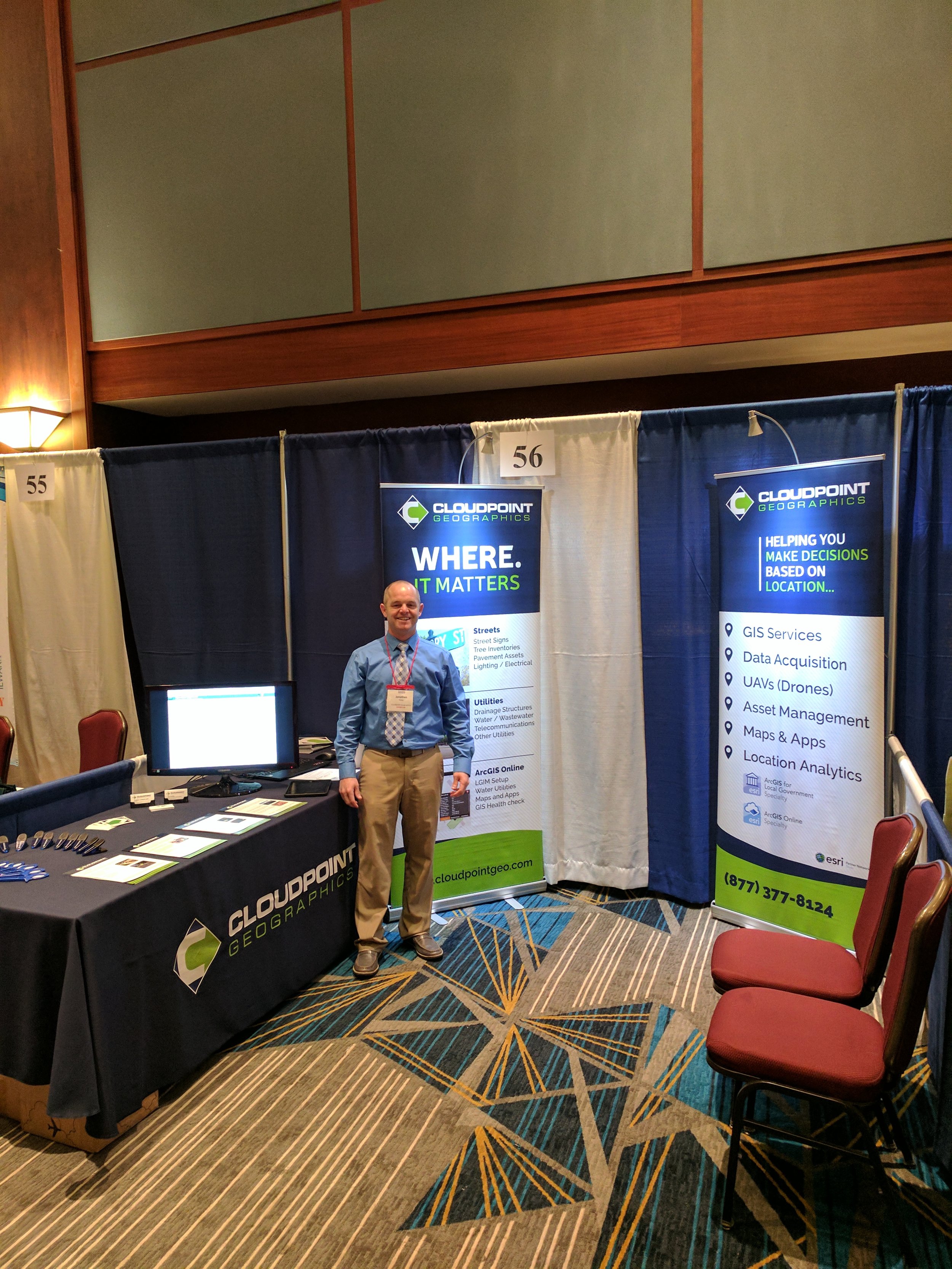
Jon ready to welcome everyone to the Cloudpoint booth at Watercon 2017!
Cloudpoint Geographics had a great time at the 2017 Watercon Conference! We met with several existing clients and made some great new acquaintances. It was wonderful to get to talk with so many people about what they were undertaking to improve their water systems.
Cloudpoint's own Joe Christian gave a presentation about why it's important to update your existing maps with GIS and how that process can be implemented. Joe, as always, was eager to talk about GIS and spread word about the importance of precision mapping, utilizing improved tools, and documenting the wealth of data that long time employees have built up over decades.
If you have any questions regarding the various water utility projects that we have undertaken, whether it be overhauling distribution network maps, conducting field inventories for culverts, or utilizing our drone mapping services to create topographic data, please don't hesitate to contact us at 877-377-8124 or online at www.cloudpointgeo.com, and we'll be happy to help!
Want to make sure you stay current about all things Cloudpoint? Sign up for our newsletter and you'll never miss out!

Here you see a 4" diameter wooden water main from Green Bay, WI that was part of a water utility hisory exhibit at Watercon.

As always the food was terrific! Here is an example from the amazing mac and cheese bar where you could choose between chicken, bacon, broccoli, green onions, tomatoes, gouda and cheddar cheese sauce! It was definitely worth the wait!
Watercon Pre-Conference Video
Macon Great Improvements to Sign Inventories!

Macon County, IL is home to several gems, Millikin Univeristy, the original home of the Chicago Bears (Decatur Staleys), and of course, the Macon County Highway Department. Recently Macon County started inquiring about different solutions to manage their existing sign inventory. After meeting with Jon Hodel and Joe Christian a few times and getting an in depth demo of SignOps, Cloudpoint's in-house developed, web-based, sign inventory solution, County Engineer Bruce Bird knew he had found the solution that he had been searching for.
We are excited to let you know that Macon County is teaming up with Cloudpoint to have our staff complete a county-wide sign inventory using SignOps on all county maintained roads! This will be a large undertaking, but we are eager to get started so Macon County can start to better manage their infrastructure in the field, office, or on the go. To learn more about SignOps visit www.cloudpointgeo.com/signops or you can check out the SignOps YouTube Channel for helpful videos, tutorials, and durability tests. If you have any questions feel free to contact us at 877-377-8124 or fill out our contact page
Thanks and remember, there's only one way! SignOps!
We'll See You In Wisconsin!
Customer Spotlight - Cassidy Killian, GIS Coordinator, Normal, Il

Cassidy has been the GIS Coordinator for the Town of Normal for 8.5 years, it will be 9 in May. Before this current GIS position he worked with SAIC in St. Louis on NGA projects with 'Top Secret' clearance. Since he graduated from Illinois State University's Geography program, working for the Town was something of a homecoming for him.
There are many bright spots in working for Normal (aside from the many jokes). One is being able to hire great staff from just down the block at ISU, like GIS technician Daniel Moore. He says his biggest challenges lie far outside City Hall: "It's tough to keep up with the pace of Esri's changes". Something we all struggle with. To do that Cassidy has a steady diet of Online training, Seminars and Conferences including the massive User Conference during the summer.
Lately, GIS at the Town of Normal has been picking up the pace. Much of the utilities data is now fully digitized. That allows their digital infrastructure to be edited and checked out in the field on connected devices. "Implementing the Sanitary Server Master Plan forced us to push data out to the field," said Cassidy. With a series of iPad Minis and Trimble Geo 7s field folks can view, edit, and maintain their digital infrastructure as it exists while still onsite. This includes the new geometric network that the water system has courtesy of Cloudpoint Geographics.
There are plans to use a newly installed version of ArcGIS Geoevent Server to help field vehicles become an efficient fleet. In addition to the aforementioned applications, Cassidy is in the midst of creating GIS tools to be used by the park district and other municipal departments. With an Esri Enterprise Agreement, the GIS team at the Town of Normal are only limited by their imagination.
Great Scott! Cloudpoint enters the Iowa Market!

Cloudpoint is excited to announce that we have partnered with Scott County, Iowa to install ArcGIS Server on the Amazon Cloud. This will allow the County to have greater control over their mapping and make their maps available to more people on the web. The Amazon EC2 cloud is a flexible deployment solution that is versatile and scalable. Scott county staff will have complete control over what, when and how their public facing GIS is updated. this allows more efficient use of taxpayer dollars. This install took place in early December 2016.
