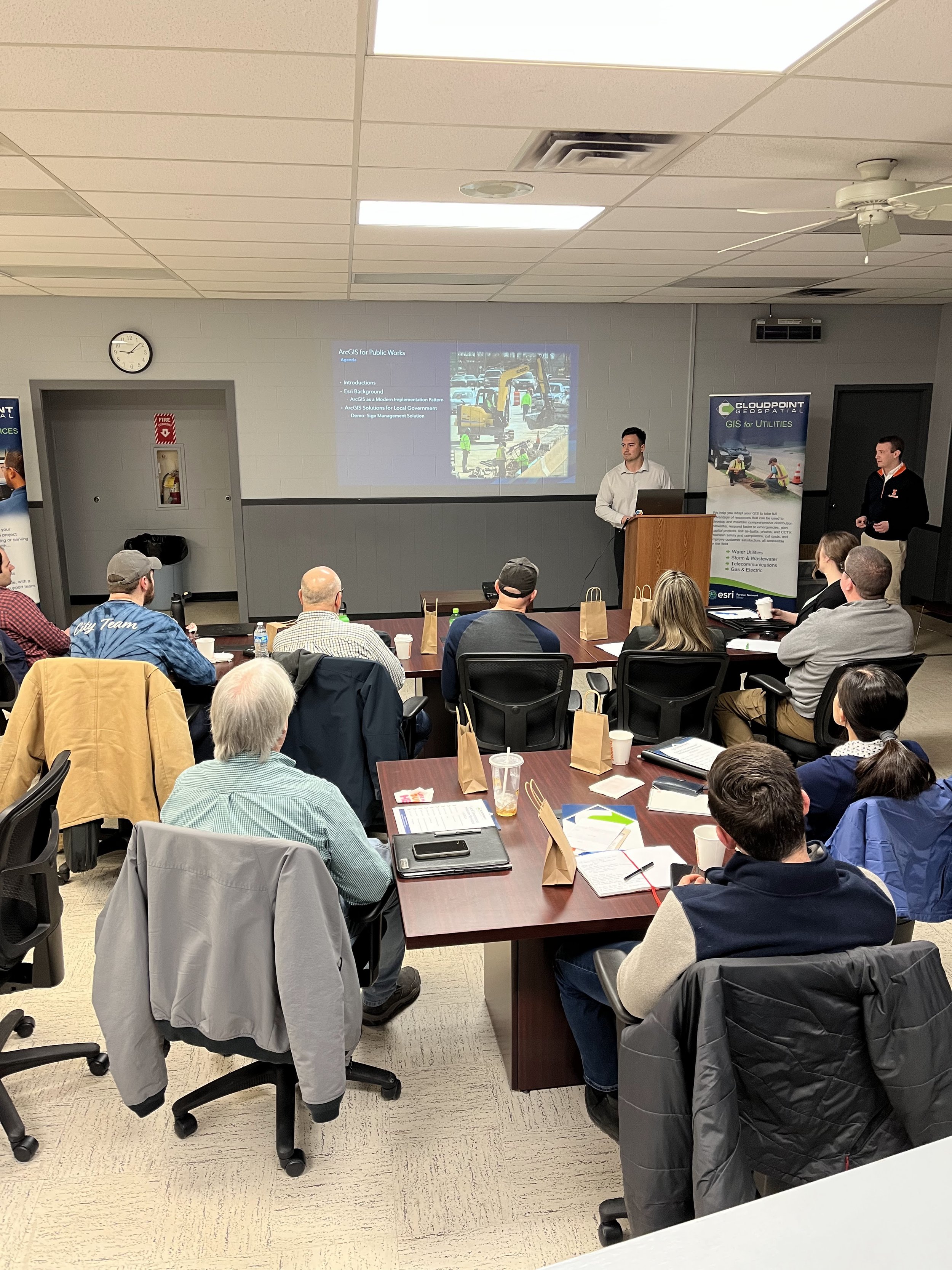
The Cloudpoint experts love to share their knowledge with the community via our Local Government Solutions Showcases. Our showcases are free, one-day training events for local government officials of all makes and models: Public Works Directors, City Engineers, City Planners, Utilities Directors, GIS Coordinators, and on and on.
Thursday, March 16th

Which brings us to our most recent show:
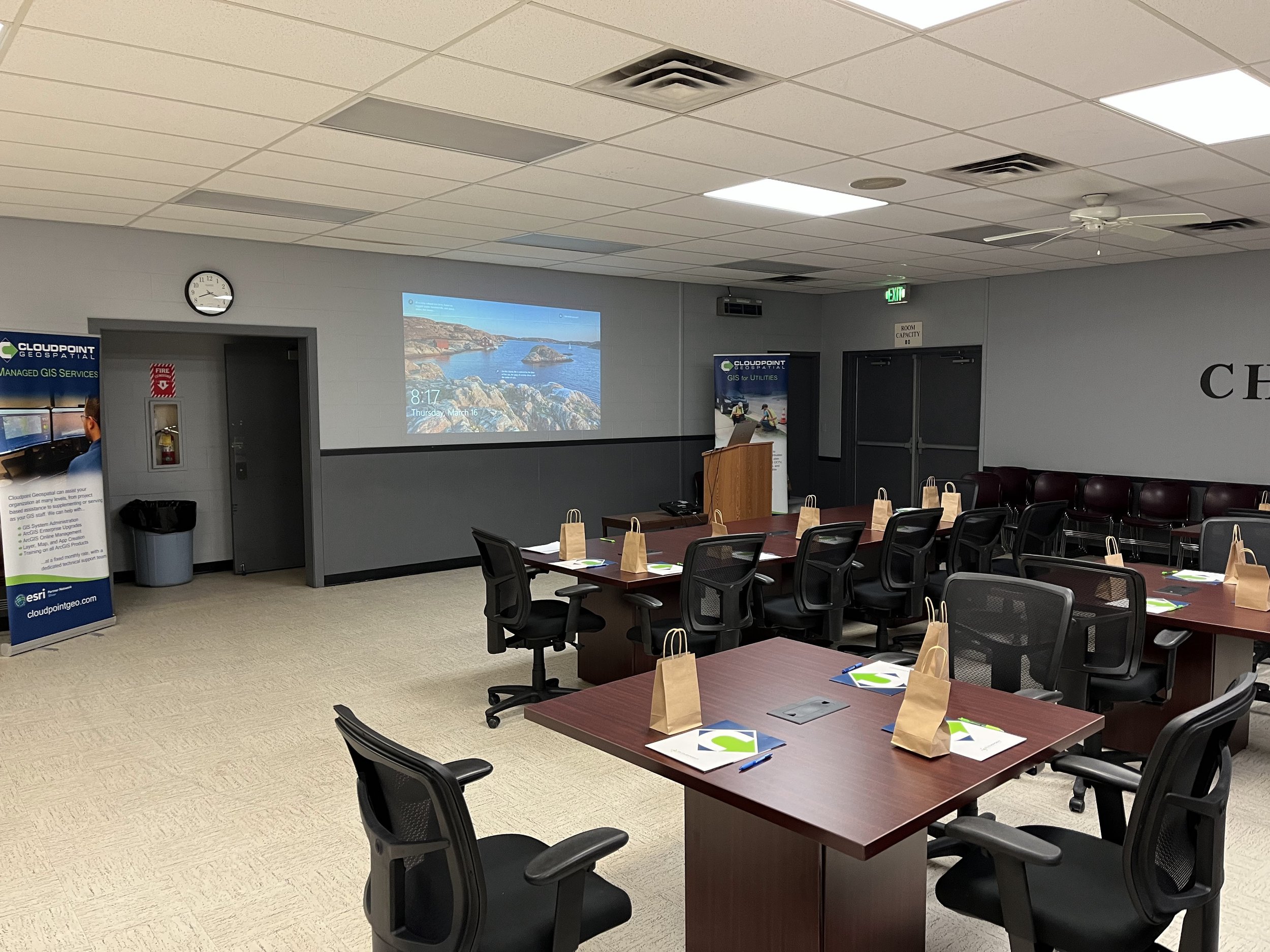
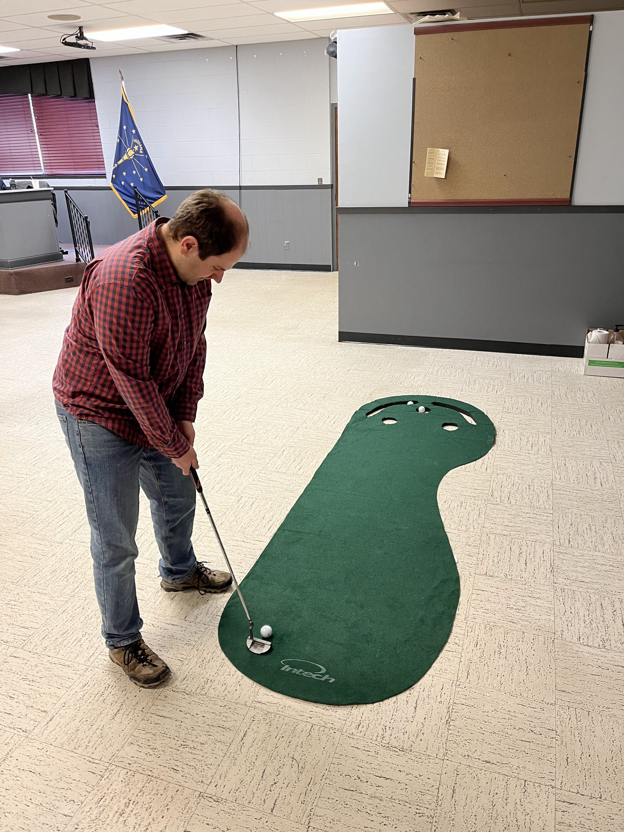
The day started with coffee and donuts, introductions and icebreakers. With lunch delivered by a local deli, a putting green to start practicing for warmer temps, and goodies bags stuffed with swag, our attendees received the full treatment.
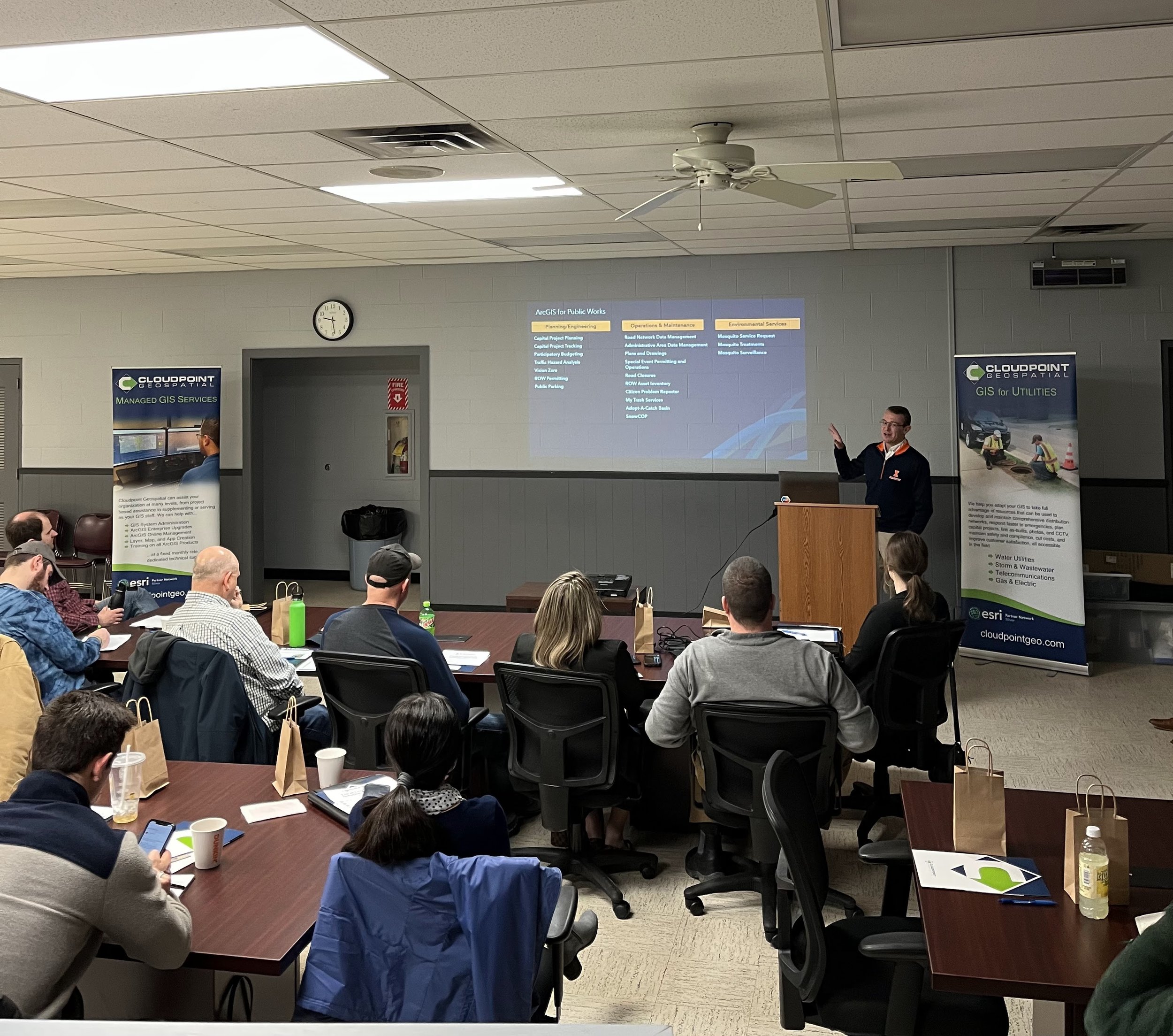
We were lucky enough to have Esri grace us with two of their staff who focus on Local Government GIS. They kicked things off with an excellent presentation on the overarching bevy of solutions that Esri has available at the click of a button. Highly customizable, we can deploy, modify, integrate, and train your organization on them at any time.
Virginia followed up by wowing everyone with her vast understanding of the abilities and concepts of the ArcGIS Utility Network. The Utility Network is the latest and greatest in utility management for municipalities, and quickly becoming a sought after solution.
Esri’s overview of the capabilities of GIS for Winter Weather Operations is always a prescient topic in these regions. Through the power of ArcGIS GeoEvent Server or ArcGIS Velocity, with Automatic Vehicle Location (AVL) the wealth of data procured, and thereby analyzed and displayed, is unparalleled.
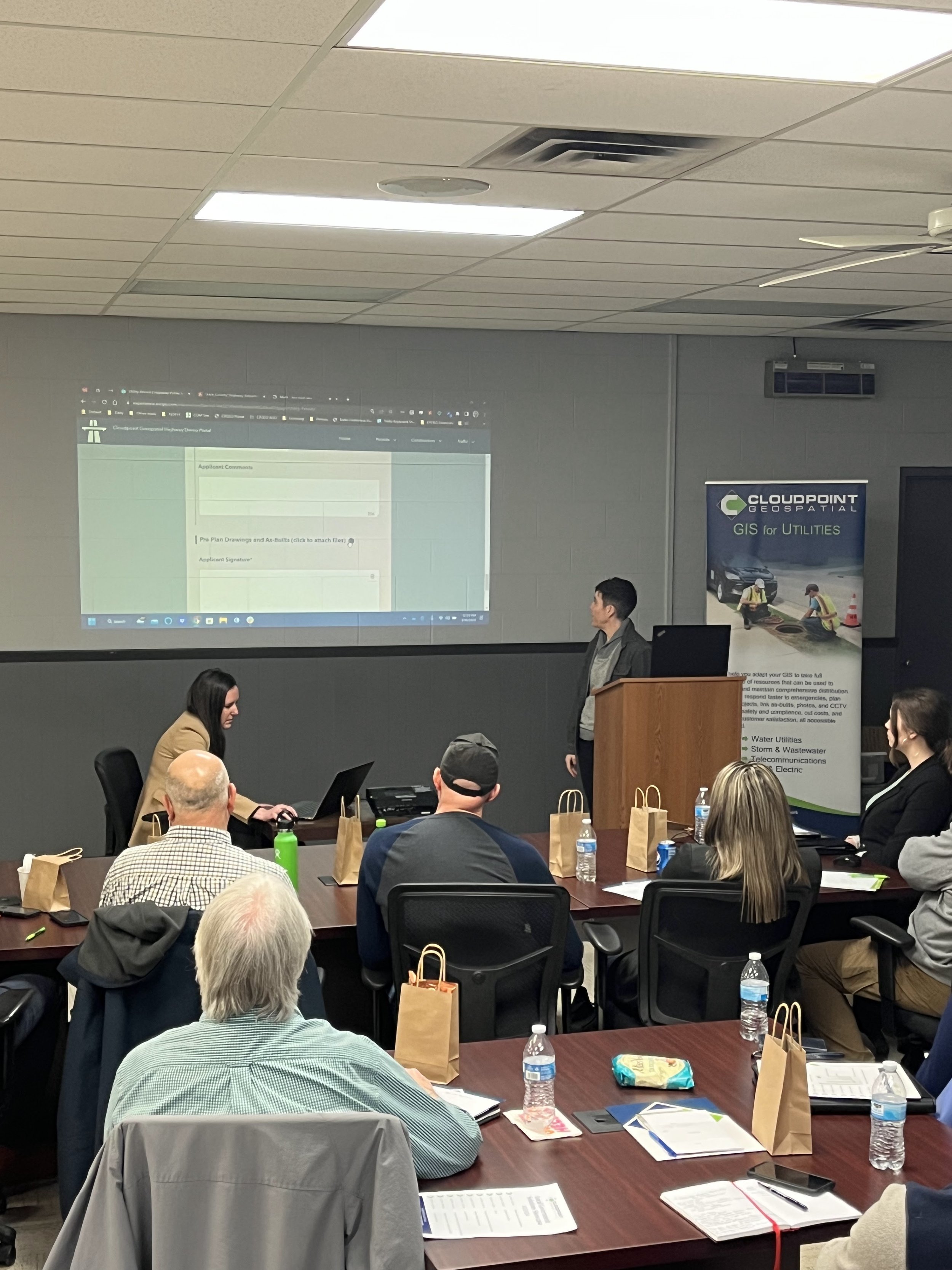
The afternoon was rounded out with Erin and Virginia tag-teaming on a review of our newest permitting order system. Quick, efficient, easy oversight and management, all needed when dealing with dozens of permit requests at time.
And to close us out, Erin reviewed the crucial need for getting paper workflows into the digital world. With our staff’s expertise, using combinations of ArcGIS Online, Survey123, and other pre-configured Esri apps, almost anything done on paper by your department can be done virtually in your GIS.