

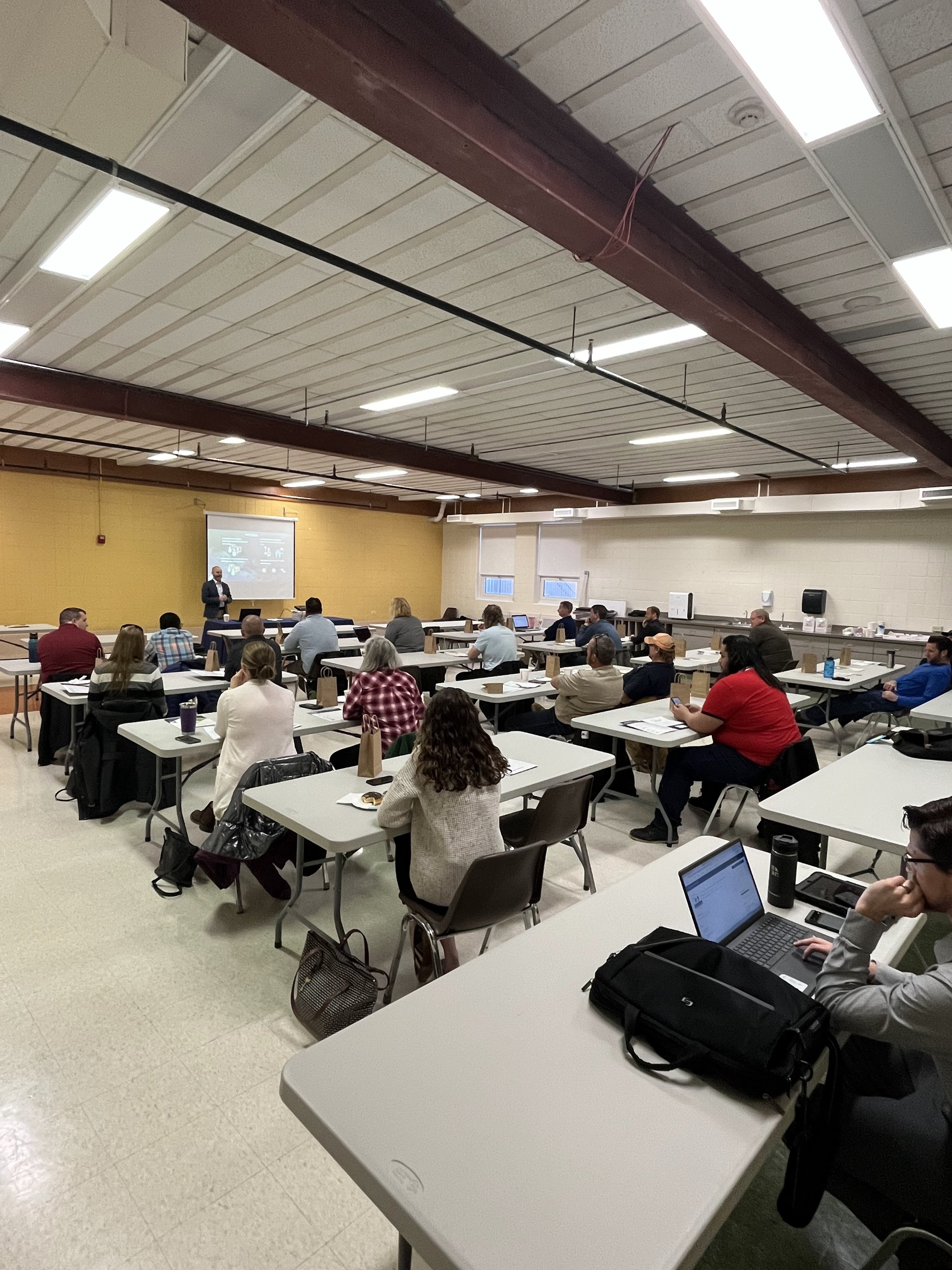
Local Government Officials from all over the Chicagoland area (and one from Wisconsin!) gathered on April 26th in Huntley, IL to learn from the Cloudpoint experts. Our staff loves to show off their knowledge with the community via our Local Government Solutions Showcases. The showcases are free, one-day training events for all local government officials that make use of GIS: Public Works Directors, City Engineers, City Planners, Utilities Directors, GIS Coordinators, etc.
After intros, coffee, and donuts were out of the way, the knowledge transfer commenced.

Jon’s overview of how Public Works departments specifically can leverage GIS in their everyday work is invaluable information. A very large slice of Cloudpoint’s clients come from Public Works departments, large and small. Whether it’s a couple users with a GPS unit and a few maps, or a multi-user Enterprise GIS integrated with an Asset Management and Work Order system, GIS is the tie that binds it all together.
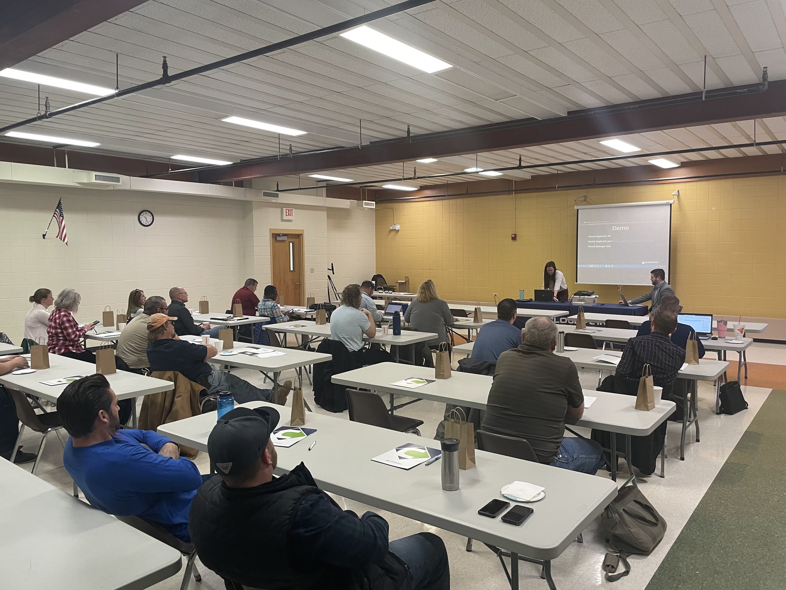
Piggybacking off of everyday work, Erin and Bill demoed an easy solution for coordinating Permitting applications. Countless hours and pages are wasted by antiquated systems that rely on someone to forward an email or print something and drop it off, when GIS can not only locate and notify permitting requests, but can help drive decisions based on the data.
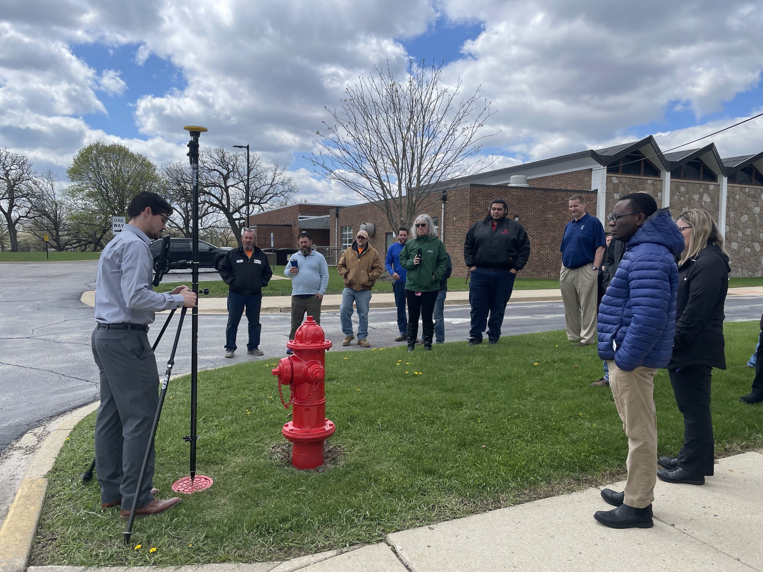
And to get us all in the mood for lunch, Jon and Tyler reviewed the latest and greatest for getting field data collection integrated seamlessly with GIS. We got a live demo in the field on how ArcGIS Field Maps is the perfect example of tech that can be implemented quickly and used every single day, saving countless hours on work, travel, data review, etc.

Jon’s high-level overview of ArcGIS Indoors, the latest in GIS technology is always a welcome preview of the next step. Take all your knowledge of GIS and apply it from your outdoor space to your indoor space, and leverage that newfound data to make the best decisions possible.
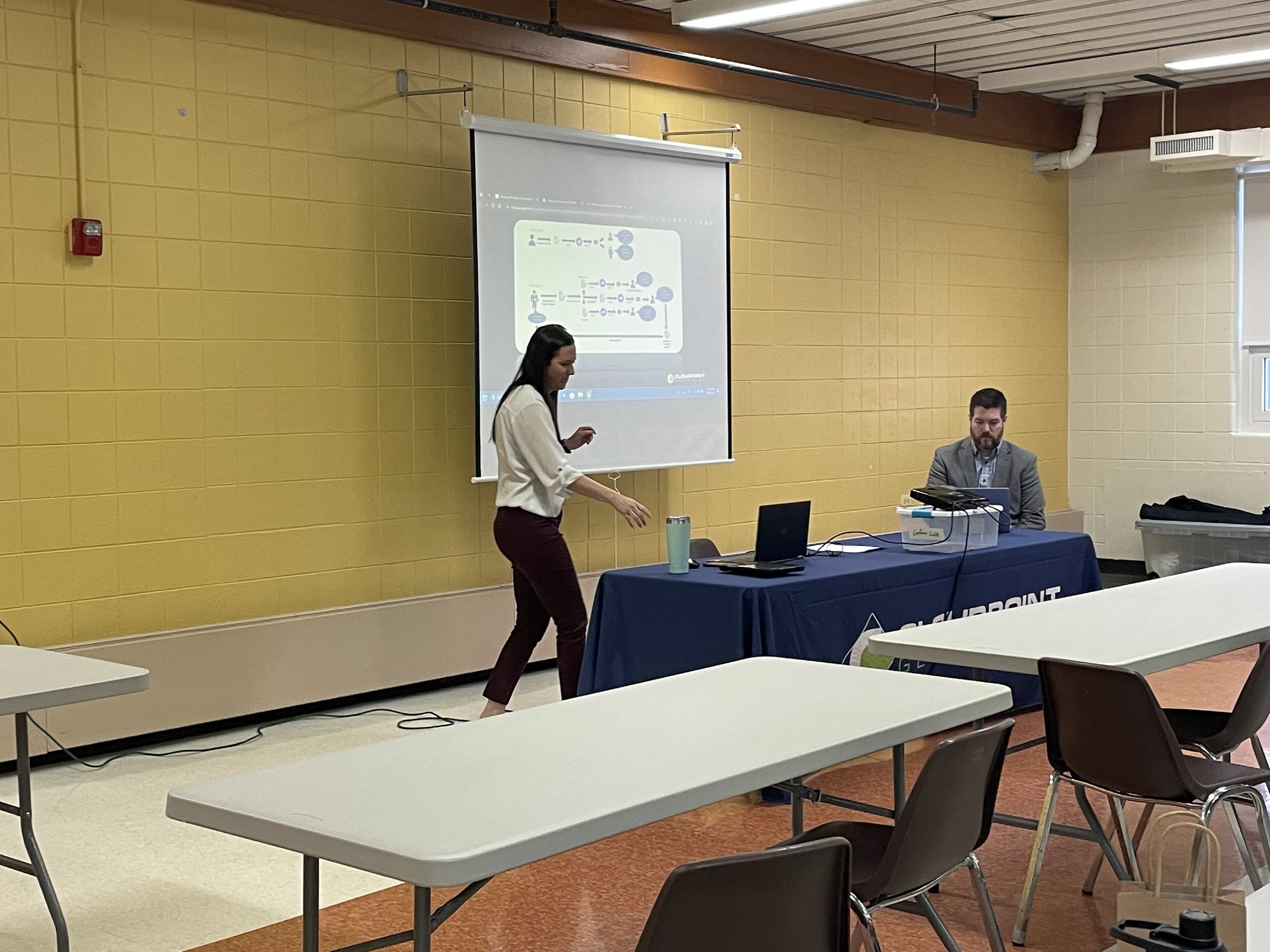
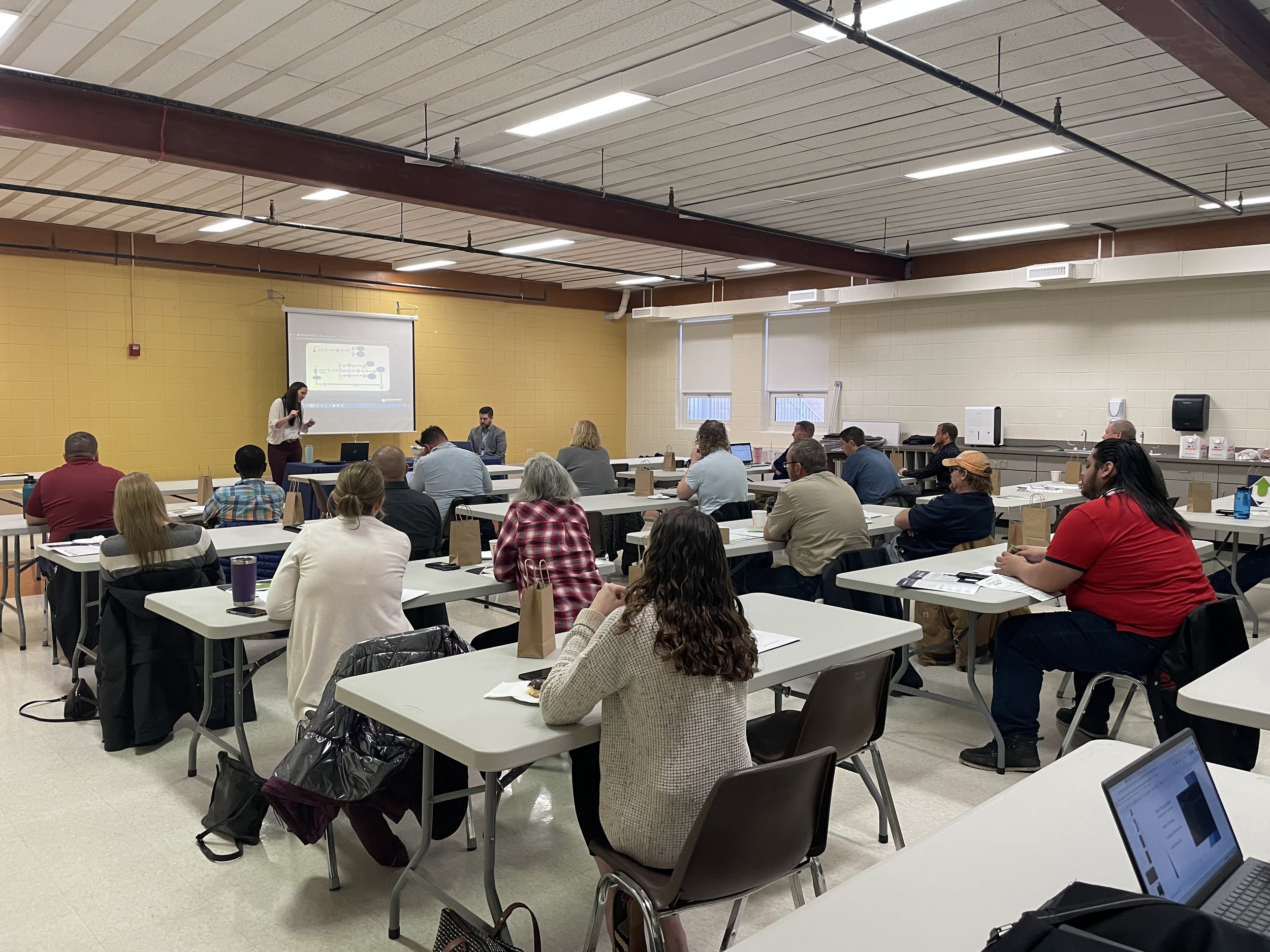
Our last presentation from Erin gave us not only the method, but the WHY behind moving away from paper workflows, breaking down the barriers and added time and headaches paper can cause. Using Survey123 to connect this work to your GIS cuts down on errors, work time, review time, and notification time. Notifications can be automated, forms can be public or private, and responses can trigger numerous cascading workflows. The sky is the limit!
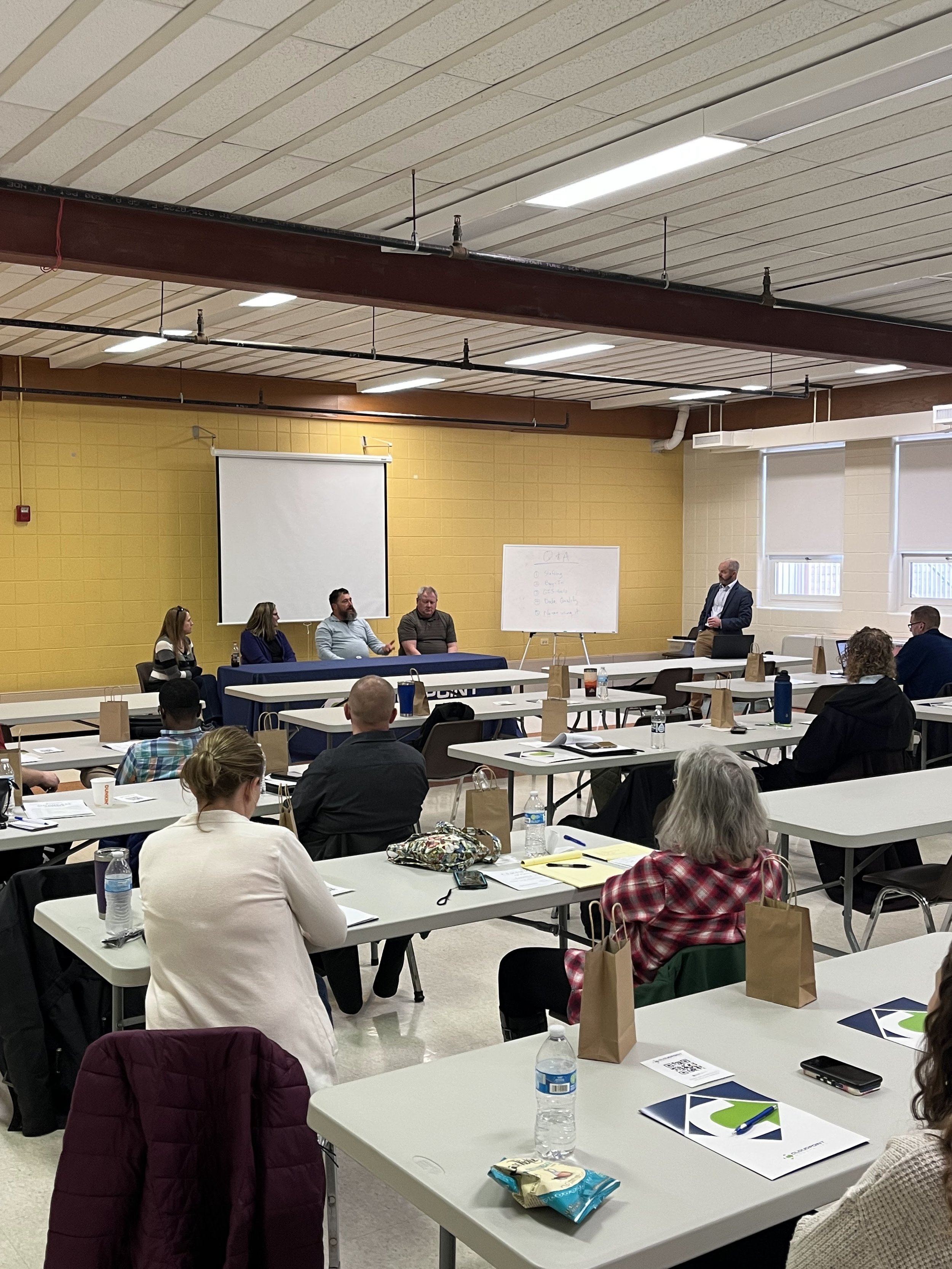
Before we all left for the day, we closed it out with a special Q&A panel of volunteers from the audience. They shared about how they utilize GIS in their day-to-day work, along with some data “horror stories,” and had many great questions back and forth from the entire audience.
