Lake Superior coastal county Moves to parcel fabric

Bayfield.png

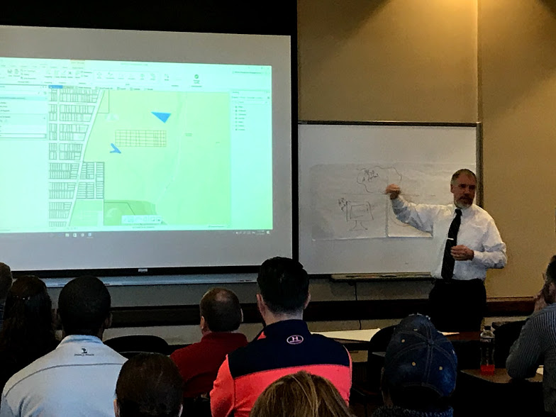
The Land Records department at Bayfield County, Wisconsin has a knowledgeable GIS staff and land records information system that they utilize on a regular basis for updating assessed valuations, addressing, and public land survey data.  Recognized at the 2017 Wisconsin Land Information Association's annual conference by winning the Government Achievement Award for their flood mapping work, the department is no stranger to success.  Led by Land Records Administrator, Scott Galetka, the department is setting the course for future information management in their jurisdiction by migrating their GIS parcel data to Esri's parcel fabric which will provide tremendous benefit in helping them meet their goal of making this data accessible to professionals and as well as the public. 

The County recently contracted with Cloudpoint Geographics to provide a county-wide parcel data migration into Esri's parcel fabric within the Local Government Information Model.  The project will consist of migrating 35,387 parcels and over 1,600 PLSS corners into the parcel fabric and includes onsite training and remote technical support. 

Cloudpoint's track record of the highest professional service level along with its knowledgeable staff keeps them in the forefront of today's GIS -technology experts. For more information regarding our parcel fabric land records services you may contact us through our website or call 877-377-8124.

Erin Strickler Joins the Cloudpoint Team

Cloudpoint Geographics is pleased to welcome Erin Strickler to our staff!  Erin is a 2003 graduate of Bradley University's civil engineering program and earned her professional engineer's license in April of 2017.  She comes with a strong background in engineering, surveying, and local governments and...

Princeville Township Cemetery implementing GIS!

Princeville, IL - The Princeville Township Cemetery was established in 1925 on the site of a former cemetery. There are currently just over 5,000 plots in the cemetery that Cloudpoint will be creating a GIS cemetery management solution for.

Princeville, IL - The Princeville Township Cemetery was established in 1925 on the site of a former cemetery. There are currently just over 5,000 plots in the cemetery that Cloudpoint will be creating a GIS cemetery management solution for.

We're excited to announce that Princeville Township has contracted Cloudpoint to create a GIS cemetery mapping solution to increase their Cemetery mapping abilities! The township cemetery is located on the Northwest side of the Village of Princeville, IL and has over 5,000 grave sites. As with all organizations, they were looking for a better way to keep an inventory of what is where and adding information such as new graves, grave site availability, any maintenance records, and more. Joe went to the township building in beautiful Monica, IL to present Cloudpoint's cemetery mapping solution and the board was interested. Last night the board unanimously voted to accept the proposal and get the ball rolling on the project! We're very enthusiastic about getting this work, and we'll keep you updated as it progresses. 

Thanks for the business Princeville Township!

Cloudpoint Geographics

Where. IT MATTERS

Taking care of Illinois Townships' Sign Inventory

signops_largeCropped.jpg

Completing a Township-wide Sign Inventory for the Monticello Township Highway Department!

This week Joe and Tyler ventured to Monticello, IL for a township-wide SignOps implementation and data collection. They were able to inventory all of the Monticello Township Highway Department (MTHD) signs both in the field and in their shop in just 2 days! This allows for a turnkey sign inventory solution for the MTHD. No longer are they required to mark up paper maps,only to then send their notes to be edited on their maps on someone else's timeline. They can now easily swap out a sign that has failed inspection (let's say for instance a right curve ahead sign, W1-2R, has been shot). All they have to do is pull a new sign out of the shop, head to the sign that needs replaced, scan the barcode on the back, select "replace", and then scan the new sign. It's really that simple! This not only speeds the process along, it creates a maintenance record for the completed work as well.

In addition to being home to the Piatt County Courthouse, Monticello is home to the 1994 State of Illinois Airport of the year, and the best guard cat in Central Illinois, Shop Cat!

Want to find out how your township or municipality can benefit from SignOps? Check out our SignOps YouTube channel for helping hints and tutorials, or visit our SignOps web page for more information!

SignOps: There's only one way!

What a great time at WLIA!

WLIA2.png

Last week Jon and Joe headed north to Elkhart Lake, WI for the annual Wisconsin Land Information Association (WLIA) Conference. It was a great event and we were able to connect with current clients and new county officials. We had a wonderful time talking about a variety of projects ranging from migrating to the parcel fabric to completing county-wide inventories. Congratulations to everyone who won a Cloudpoint Titleist or camouflage hat by showing off your putting skills at our booth. We've said it before, and we'll say it again, "WLIA is one of the best conferences that we go to each year!" That said, we look forward to seeing you at future WLIA regional events and at the 2019 annual conference!

Waushara County Land Information Officer Zach Newton won a camo Cloudpoint hat by going two for two in our putting competition! Looking good Zach!

Waushara County Land Information Officer Zach Newton won a camo Cloudpoint hat by going two for two in our putting competition! Looking good Zach!

Customer Spotlight - Scott County, Iowa

Meet Ray Weiser (left) and Sunny Shang (right) of the Scott County, Iowa GIS Department!

Meet Ray Weiser (left) and Sunny Shang (right) of the Scott County, Iowa GIS Department!

Ray has been with Scott County longer than he can remember, but not long enough to retire. Before that he worked at Shive-Hattery and Bi-State Regional Planning Commission just across the river. Sunny has been with the County for just over 3 years. Prior to that, she completed her masters degree in Geography at the University of Iowa. 

Ray manages all aspects of the county GIS, and Sunny provides backup while also focusing on department support and web programming. The County has two ArcGIS server installations and a multi-versioned parcel database that replicates weekly into a publishing geodatabase. They support innumerable public users of the GIS websites which pull layers and data from both ArcGIS Online and an ArcGIS Server instance on Amazon Web Services. Sunny recently built a web-based Integrated Roadside Vegetation Management (IRVM) application which tracks native and invasive species along County roads. The two help the Conservation Department maintain maps & layers of the county’s recreation areas, assist the Health Department to determine at-risk parcels for lead contamination, guide County Assessors to recent permit locations, delineate watersheds and erosion in County ditches for the secondary roads department, and support emergency first responders & computer aided dispatch operations for the Scott Emergency Communications Center. 

Here you can see some of the maps that Ray and Sunny have compiled for Scott County.

Here you can see some of the maps that Ray and Sunny have compiled for Scott County.

Since Ray and Sunny are the only two full-time GIS personnel in the IT department, they are constantly using the technology to solve problems for other County departments. The best method of isolating issues for County departments is a simple conversation with County staff. A recent Check-Up from Cloudpoint has helped analyze these relationships and created an opportunity for additional outreach and support actions. 

The technology is always changing and updating. Ray and Sunny are involved in several regional GIS user groups and have attended large Esri conferences in the past. It’s difficult keeping up with all of the templates, data models and applications available from Esri but, with some help, this dynamic duo is looking forward to a bright future of GIS with Scott County leading the Quad-City region in GIS and the geospatial field!

Thanks for sharing your experience Ray and Sunny, and thanks for allowing Cloudpoint to assist Scott County in reaching its goals!

Adventures in Iowa: Spreading the word about Cloudpoint!

One great thing about working at Cloudpoint is the wide variety of clients we have and the array of projects and services that we provide. Although we're pretty well known in Illinois and Wisconsin, some of our other Midwest brethren are less familiar with the company. This past Wednesday, Cloudpoint's Joe Christian started to change all that by hitting the rural roads of Western Illinois and Eastern Iowa to spread the good word about GIS and Cloudpoint.

Veteran's Memorial at Riverview Park overlooking the frozen Mississippi River in Ft. Madison, Iowa.

Veteran's Memorial at Riverview Park overlooking the frozen Mississippi River in Ft. Madison, Iowa.

With stops in Knoxville, IL; Galesburg, IL; Monmouth, IL; Burlington, IA; Ft. Madison, IA; Keokuk, IA; Hamilton, IL; Carthage, IL; Macomb, IL; and Bushnell, IL, Joe covered over 300 miles and met a variety of professionals including: Public Works Directors, Public Works staff, GIS Coordinators, Cemetery Sextons, County Engineers, and County Highway Departments. Whether he was talking about our SignOps sign inventory program, or he was talking about overhauling existing utility infrastructure maps, Joe was able to connect and impart the importance of updating maps with GIS with everyone he met.

Would you like to learn more about all of the services and solutions that Cloudpoint can provide? If so, please follow the link below to signup for our Technical Blog and Quarterly Newsletter below.

Link to sign up for our Technical Blog and Quarterly Newsletter.

Where. IT MATTERS

Bloomington's sewer database gets overhauled!

The City of Bloomington, IL has contracted Cloudpoint Geographics to assist in updating their sewer network data. This project includes migrating their sewer network data into Esri's Local Government Information Model, creating features for missing assets, assigning new feature ID’s, and improving workflows for 3rd party software integration within their GIS environment.

The City of Bloomington, IL continues to improve upon their already robust GIS. This time by contracting Cloudpoint Geographics to overhaul their sewer database.

The City of Bloomington, IL continues to improve upon their already robust GIS. This time by contracting Cloudpoint Geographics to overhaul their sewer database.

Once the database has been quality checked, Bloomington will have a much better view of their features in the real world. This will help with planning future work, improving efficiency, and speeding up work in the field. 

To learn more about our GIS database management, contact us at 877-377-8124.

Where. IT MATTERS

Cloudpoint Year in Review

Logo_Plain_nothingAdded2078x429.jpg

This has been quite the eventful year at Cloudpoint Geographics. We've been fortunate enough to have completed several projects ranging from a SignOps sign inventory for Macon County, IL, to flying a proposed drag racing strip south of Eau Claire, WI. We also said farewell to our friend and colleague Paul Stephenson as he headed west to Nevada. All in all, it was a great year full of great successes. We've put together the gallery of pictures below as a recap of the great events that we attended, and the projects that we completed in 2017. We can't wait to see what 2018 has in store, and we look forward to bringing more great GIS solutions to the masses! 

Happy New Year from the Cloudpoint team!

Where. IT MATTERS