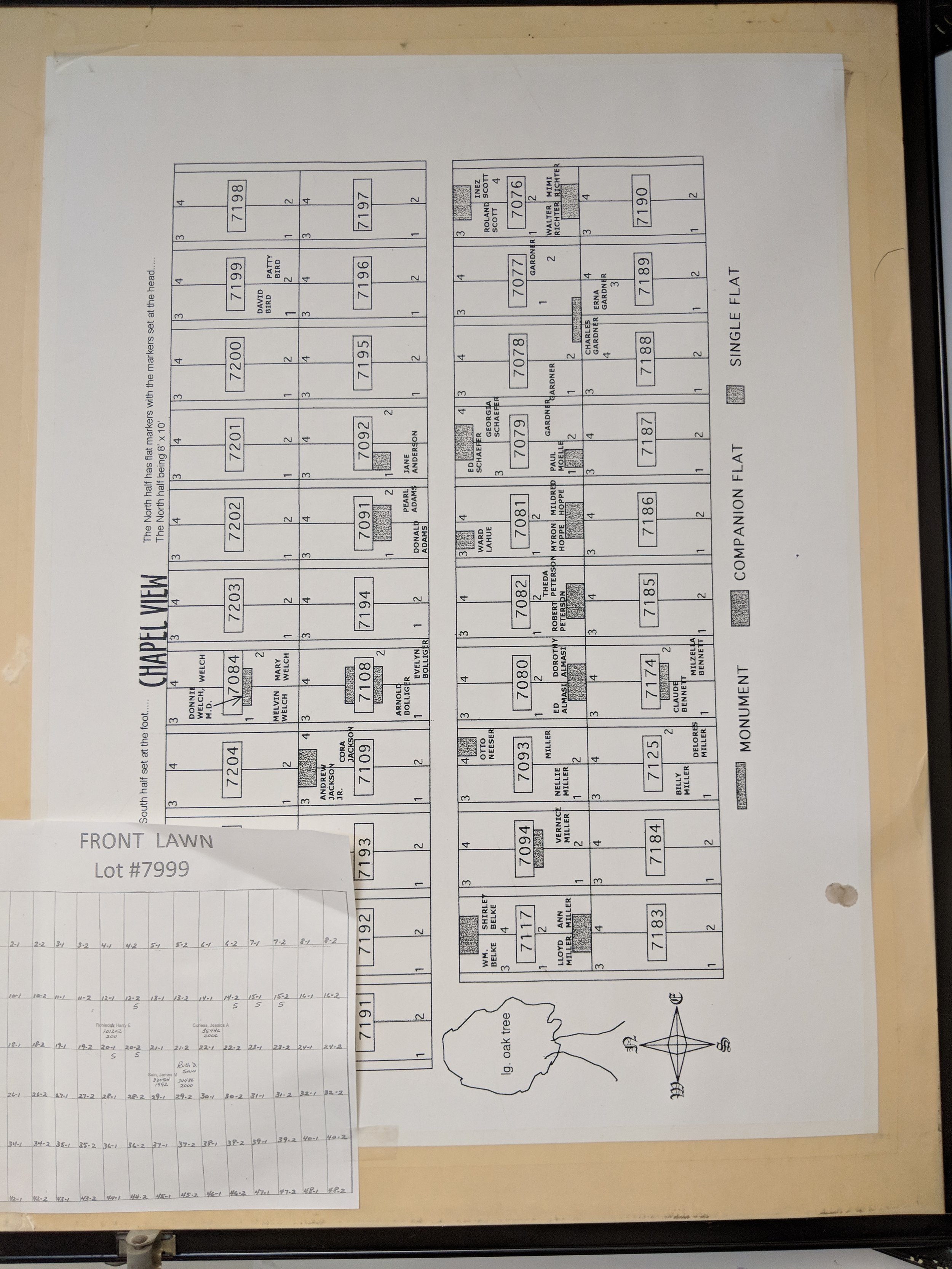
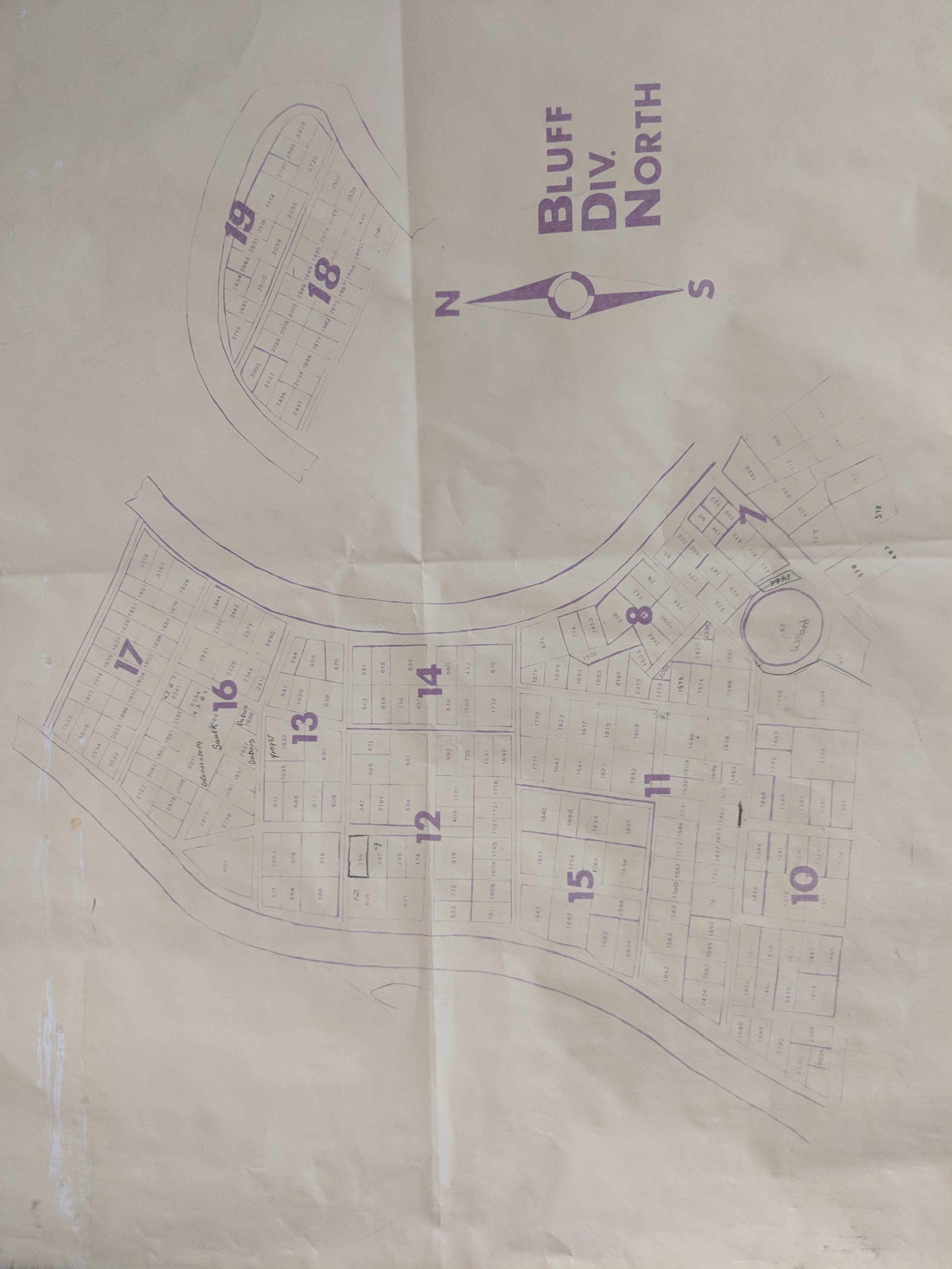
It’s been a very busy spring (and summer) at Cloudpoint Geographics. We are neck deep in cemetery mapping, parcel fabric conversions, ArcGIS Enterprise installs, managed services contracts and indoor mapping. So much is happening we are slacking on keeping up with keeping you up to date.
We would like to introduce you to our summer interns:
Titus Williamson
Titus started with us in early May and jumped in without hesitation. He has helped with a culvert inventory (forgot to mention that one) and is actively working on the Springdale Cemetery project. Titus attends Northern Illinois University, is majoring in Environmental Studies and also works as a barista at the Spot in Peoria. And yes, he is related to Micah.
Drew Martin
Drew is a 2018 graduate of Roanoke-Benson High School and just started this week with Cloudpoint. He is just beginning to understand what we are about and is excited to learn GIS. Drew is also currently working through our quality control project of Springdale Cemetery and looks forward to getting into some field work with the data collection portion of the culvert inventory. He currently attends Illinois Central College and will major in Computer Science with the intention to continue his education at Illinois State University. Drew enjoys spending time outdoors doing activities like fishing or golfing or just hanging out with my friends and family.
Welcome Guys!
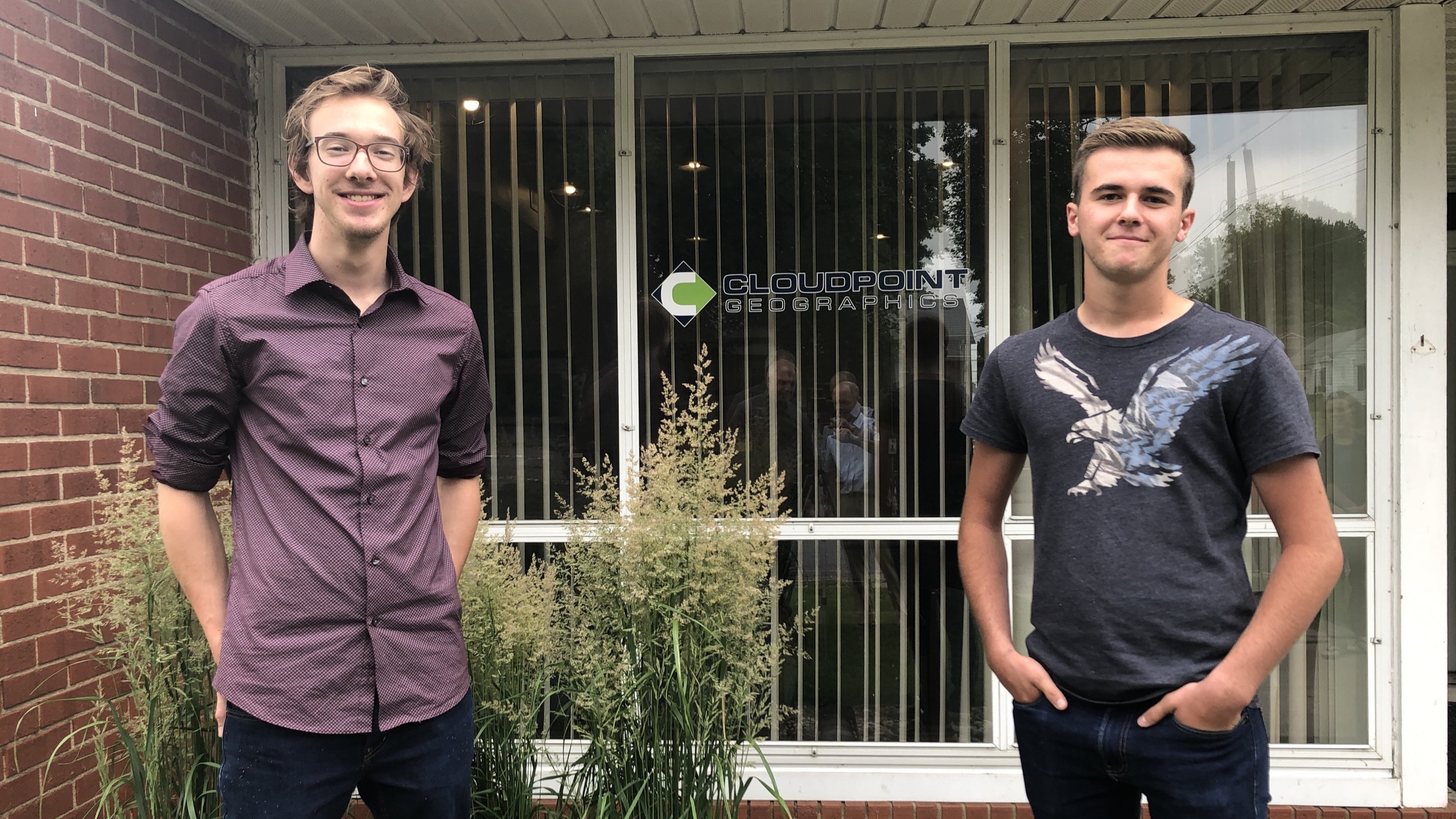
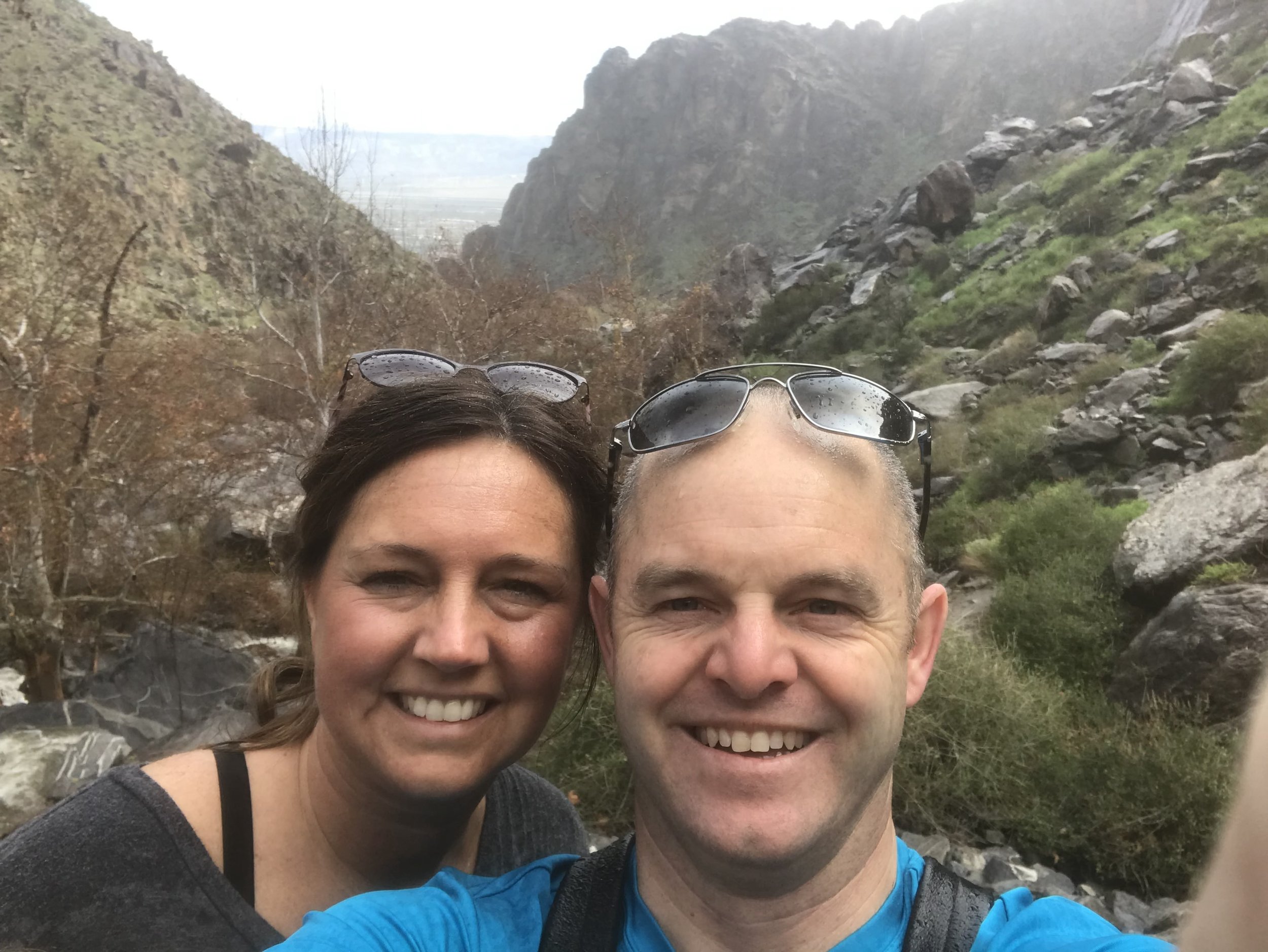
Titus on the Left, Drew on the Right. (don’t mind the reflection of Micah & Jon in the middle)